Middlebury Trailrunner Blog – Jeff Byers

middlebury-mapleWhat: Middlebury Trailrunner Blog

Who: Jeff Byers, Professor of Chemistry and Biochemistry

Technologies used: Hardware: GPS watch, digital camera.  Software:  Google Earth, WordPress, Garmin software (allows seamless connection to Google Earth). When posting an altitude profile, Jeff does a screen shot off of the Garmin software and pastes it into MS Word.  Then he uses a shareware program called “Doc to Jpeg Converter” and crops it with Microsoft Office Picture Manager. Continue reading “Middlebury Trailrunner Blog – Jeff Byers”

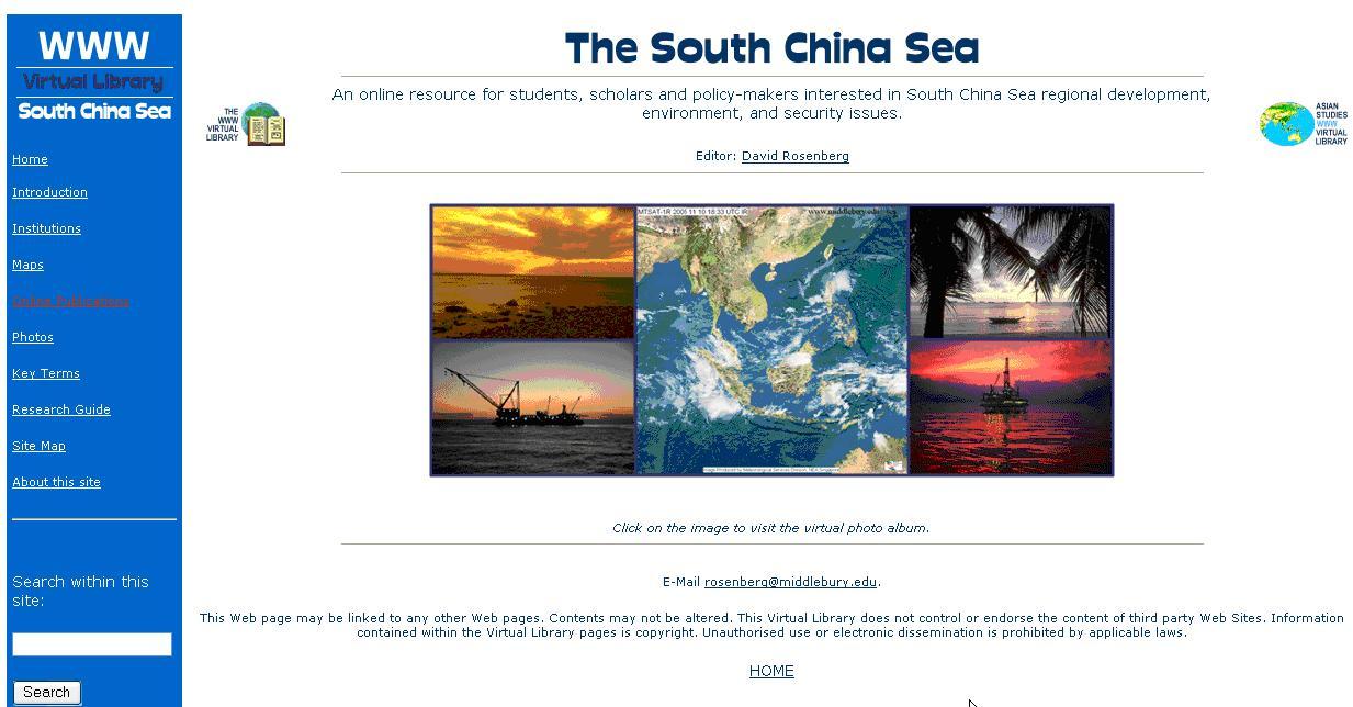
South China Sea WWW Virtual Library – Prof. David Rosenberg

Technologies Used: website: www.SouthChinaSea.org, Google Earth, Google Map, Google News Search, CD
Course: PSCI 214 – International Environmental Politics
Number of Students: 45
Objectives: “To integrate research and teaching, to promote student-faculty collaboration.”

Summary of Poster Session: David Rosenberg and several of his students showed the website that is a resource for students in David’s class as well as the world.  Students helped identify content to link to and contributed content themselves, such as maps. Continue reading “South China Sea WWW Virtual Library – Prof. David Rosenberg”

Capturing Video from Google Earth Pro for Visualization of Landscape Development – Chris Fastie, Visiting Research Scholar

Technology Used: Google Earth Pro, GPS, digital video camera, Adobe Premiere Pro
Course: Environmental Studies 1011 – Reading Nature’s Winter Landscape
Number of students: 15

Photo by Carrie Macfarlane
Text by  Chris Fastie and Carrie Macfarlane

For ten years, Chris Fastie, Visiting Research Scholar in the Department of Biology, had been laboring to map the geomorphology of a four-mile stretch of Upper Plains Road in Salisbury, Vermont. As time allowed, he would venture out to survey the landscape, and sketch his findings on aerial photos. Last summer, he used a GPS (Global Positioning System) receiver to map some newly discovered kame terraces, installed Google Earth Pro on his computer and learned that there was finally an effective way to share his findings with others. When he received a request to lecture for a Winter Term course at Middlebury, technology and opportunity had merged to give new impetus to the mapping project. Continue reading “Capturing Video from Google Earth Pro for Visualization of Landscape Development – Chris Fastie, Visiting Research Scholar”