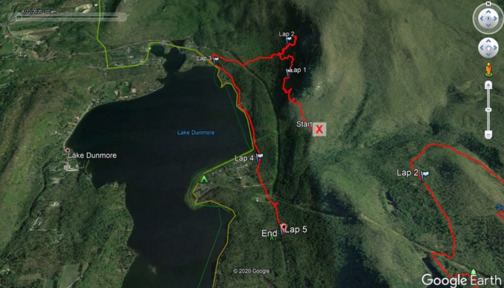
I have made it a habit not to “redo” a post on a particular run, unless it has been a few years since I last blogged about the route. I am making an exception this time. In June of 2019, while trying to find a cave called “Speedy’s Cave” whose location I only had the vaguest memories of, I ended up not finding the cave in question, but had an adventurous and challenging “mostly hike”, as the terrain was too rough for running, along the midsection of the Rattlesnake Cliffs above Lake Dunmore. Most of this little adventure was on the trails maintained by Camp Keewaydin. A few of my readers mentioned that they would someday like to join me on this “run” someday, as it sounded interesting. So, on a pleasant Saturday morning, 5 of us set out. It wasn’t my intention, at the start of the journey, to write a blog posting on it, and as a result, I didn’t bring my camera, and didn’t even turn on my GPS watch until we were about 0.8 miles into things. Fortunately, my friend Josh, who joined us for the first part, had his camera with him, and all the new pictures here are his. For my first description of this route, with my photography, see my original posting:
The Wrong Way to the Keewaydin Caves
Yup! I thought I had gone the wrong way to find the “Speedy’s Cave” of my memory. I now know I was wrong about being wrong.
We set off from the Falls of Lana parking lot, taking the usual dirt road up, and when the trail made its first sharp hairpin to the right, we went straight, over the bridge, and up the easy section of trail until we saw the sign for the Aunt Jenny Trail, and we ascended this trail for a few minutes. The first tricky part of the routefinding in this trail is actually finding it. Many years ago, there was a sign here stating “Caves” to guide adventurous hikers, but as I discovered last year, that sign had been removed, and in fact, this year, several tree branches were laid across the faint trail to discourage errant hikers. That said, you will know that you are at the correct place if you see a small sign on one of the nearby trees saying “trail” and pointing along the far more apparent Aunt Jennie Trail. Some things about this cave trail haven’t changed – it is still a faint path, but with generally well marked blazes on trees. It also tortures hikers with countless dips and climbs for no apparent reason.
While I failed in re-finding Speedy’s Cave last summer, we quickly discovered that five pairs of eyes are better than one. Sure enough, in little more than a third of a mile along this trail, one of my party looked up above their feet (where one’s eyes usually are on rough terrain) and saw the sign for the cave! I think we had an advantage this year – a narrow sunbeam of light escaped the heavy foliage and illuminated the sign as if it was some sort of sacred shrine.
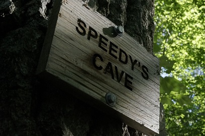
At this point, we scrambled uphill 50 feet or so to the mouth of the cave. As I remembered, it was a fairly spacious cave, and in fact, I could notice the remnants of a small campfire inside it. Unlike the far more extensive, truly subterranean Weybridge Cave, which demands a rappel to enter, the Keewaydin Caves are simply spaces created by rockfall from the cliff bands over the eons, and are generally small and cozy. Curious as to the origin of the name of this cave, a search of the history of Camp Keewaydin indicated that it was probably named after the name of a mid-20th century owner “Speedy” Rush.
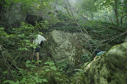
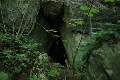
Scrambling back down to the trail, we continued, and not long later, Sandra, a member of our group, looked up to the right, and shouted out that she thought she saw another cave, this time without any sign indicating its provenance. We bushwhacked our way up towards it, and at first glance, there didn’t seem to be much too it. Then, its discoverer noticed that she could squeeze under an overhang, and she headed in until all we could see were her feet sticking out. The arrow in the photo is putting at her well-camouflaged sneaker.
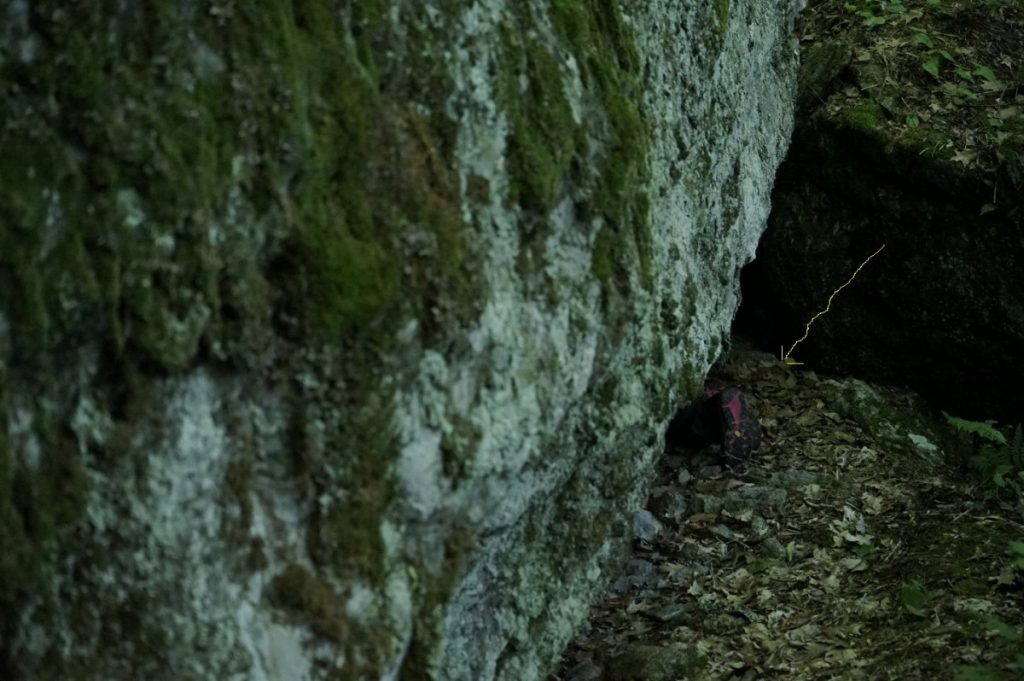
Knowing that we might be doing a little crawling around in caves, she was the only person who thought to bring a headlamp, and as she crawled in a little further, discovered that there was a large inner room that should prove accessible. No doubt this has been and will be a comfortable home for one or more wintering bears in a few months! None of us were really clothed to shimmy into it – so that will have to wait for another day, presuming we can find it again. Given that there was no sign affixed to this cave, naming it after some Keewaydin luminary, we decided that our party was the first there, and we named it after her discoverer – Sandra’s Cave it is!
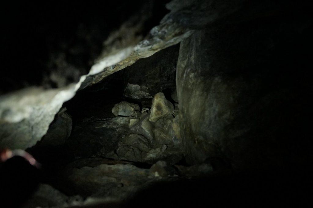
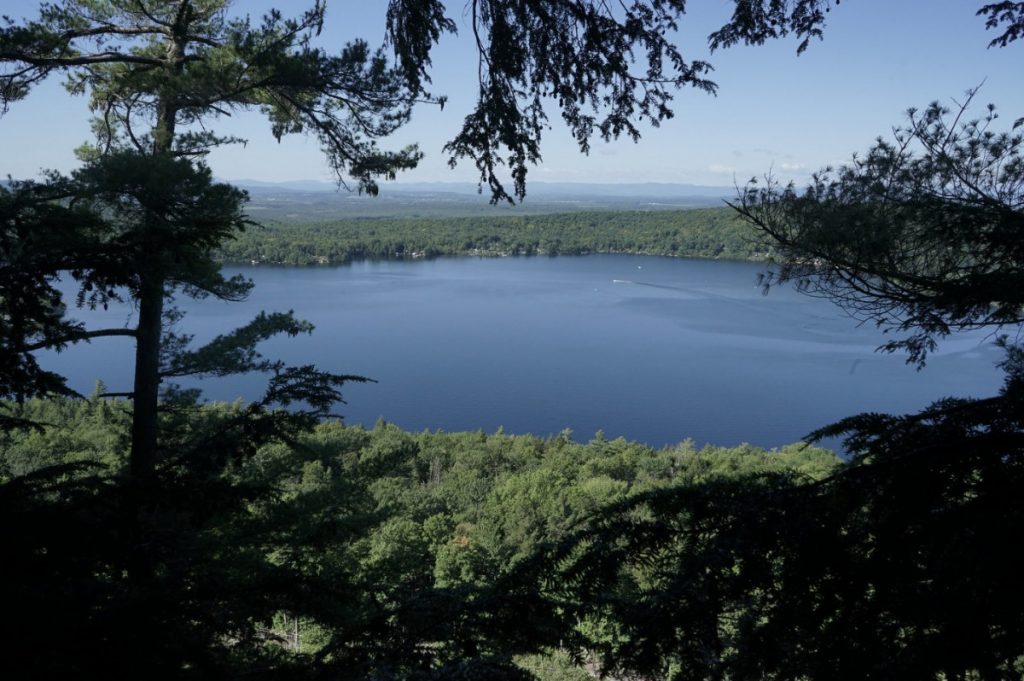
After most of us did the short shimmy into the opening of the cave to glimpse the inner room, we returned once again to the trail, and commenced our zigzagging up and down the face of the Rattlesnake Cliffs, constantly on the lookout for the next white blaze. The next “named” location we came across was a viewpoint which I remembered (of course) from the previous year’s exploration – Jeff’s Lookout! I am not simply claiming as my own – there is an aging sign at the edge of the overlook claiming it for me.
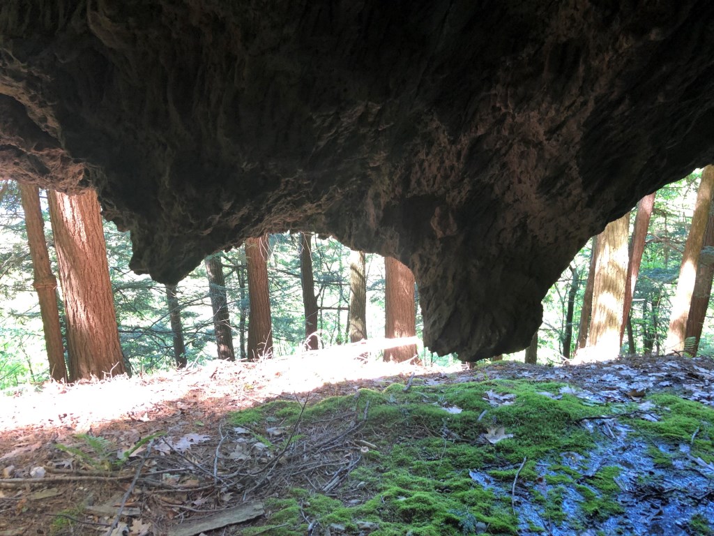
.From this point on, following the route from the previous year, we came across the Cave trail sign, which went pretty much straight up the side of the mountain, bringing us in a few strenuous minutes to the only cave I managed to bag in my previous outing, “Curly’s Cave”, which was much smaller than Speedy’s Cave, but standing inside it, you had the feeling you were looking out from the throat of a monster – check out the teeth! I was unable to determine the origins of the Cave’s name, but I will ask some people I know who have been associated with the camp to find out.
Returning to the trail, we soon came to a sign for the Wildcat trail, which may have been the name for the trail we were on all along, As we got closer to the camp proper, the trails became better marked and easier to follow. One of the coolest parts of the descent to the camp was a cliffy area called The Deer Staircase. At some point in the last year and a half, someone had put in a few log ladders, making the descent far easier than it had been in the past. I am not going to go into the details of the rest of the descent – all downhill trails probably lead to the main grounds of the camp and the East Shore road. When we got to the dirt road called “The Summit Trail” we were able to resume running for the first time in about two hours, and eventually ran back to our cars alongside the main road.
This was a very fun little adventure that took up pretty much the whole morning. Running options were sparse, as the terrain was quite rough and the trail maintenance meager. Given the late start on my GPS watch, the journey was longer than shown, probably a little over 5 miles. My watch recorded 1400 vertical feet of climbing, but since the first easy sections weren’t included, it was probably closer to 1700 or 1800. That’s a lot of up and down – and to put it in perspective, the ascent of Mt Abraham, the nearest big mountain, is only 1500 ft.
