This weekend will include the running of the TAM Trek 18 mile race, going the full length of locally famous Trail Around Middlebury. I have competed in this race many times, including a second place in the inaugural running, but with my training not currently up to the distance, I decided to help out this year – giving a little back to the local running community and the trail that I love. I volunteered to help flag the trail prior to the race, and was pleased to hear that I was given the responsibility of marking the most remote corner of the trail, the northernmost section going into the Middlebury Gorge. I also knew from previous races that this section has been known to confuse some runners who don’t know the trail already, so I planned on doing a good job of things. We will see on race day!
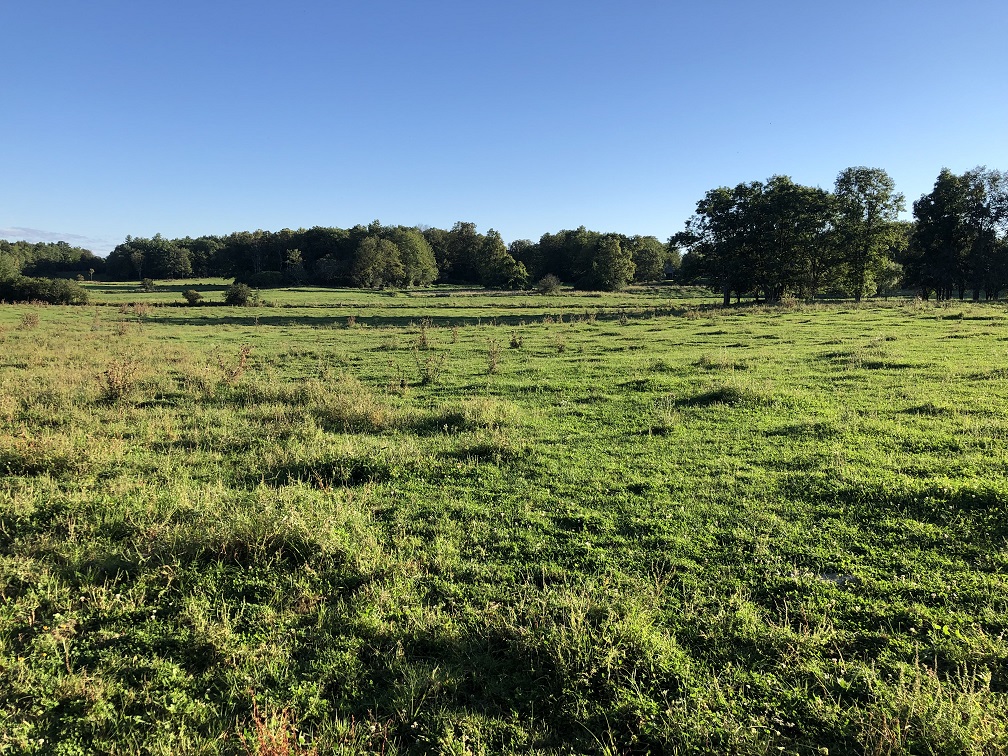
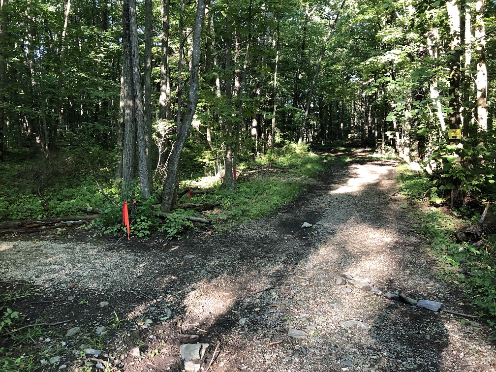
The trailhead for this run/walk (slowing down to hang streamers) was along Morgan Horse Farm road, about 0.8 miles north of the entrance to the farm itself, on the right. From the parking lot, immediately head over the stile (an Olde English countryside word for ladder, but hey, its a fun word) to the right, and a run across the cow pasture (no cows there…but the signs of their recent presence was quite obvious) to the back of the meadow, where the trail led over another sty and into the forest. I quickly came to one of the intersections which has confused runners in past years – there is a shortcut to the Belden Dam, going straight, and a sharp left turn, which actually leads to the gorge. I did my best to mark this corner with plenty of orange streamers, and even made an attempt at an arrow to the left from rocks on the ground. It isn’t so obvious from the picture, but trail runners are frequently looking down at their feet – if they don’t, their nose ends up on the ground!
At this point the trail in the woods passes just under the trees along open meadows, until it actually joins the periphery of a large scenic meadow. When I last ran this way, at the back of the meadow there was (and still is) a picnic table, and looking out, I noticed a shelter, complete with seats, and a few rope swings. I suspect this is part of the childrens’ programs run by the Middlebury Area Land Trust (Shout out!) which sponsors the race, and is charged with the upkeep of the trail.

From this point, the trail heads back into the woods for the easy descent to the riverside. I also made a curious observation – there were still some red streamers left behind from a previous running of the race. I also suspected that I had been passing by these along this section of the trail, and was glad that the streamers I was marking the course with were a much brighter orange….ah the perils of the red/green colorblind runner….Hint to race organizers – red streamers blend in with green foliage for myself and the similarly afflicted!

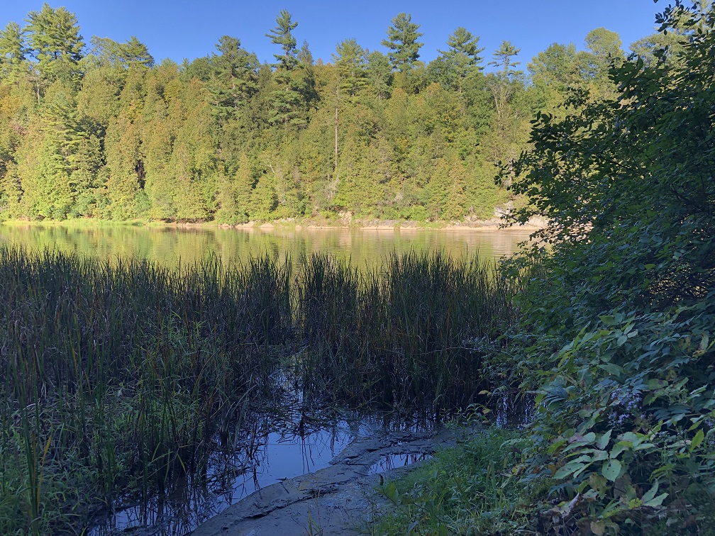
Arriving at the river’s edge, the trail goes up and down along the shore of the Otter Creek before reaching a mini- beach with a nice view of this remote and sparsely visited section of the creek.
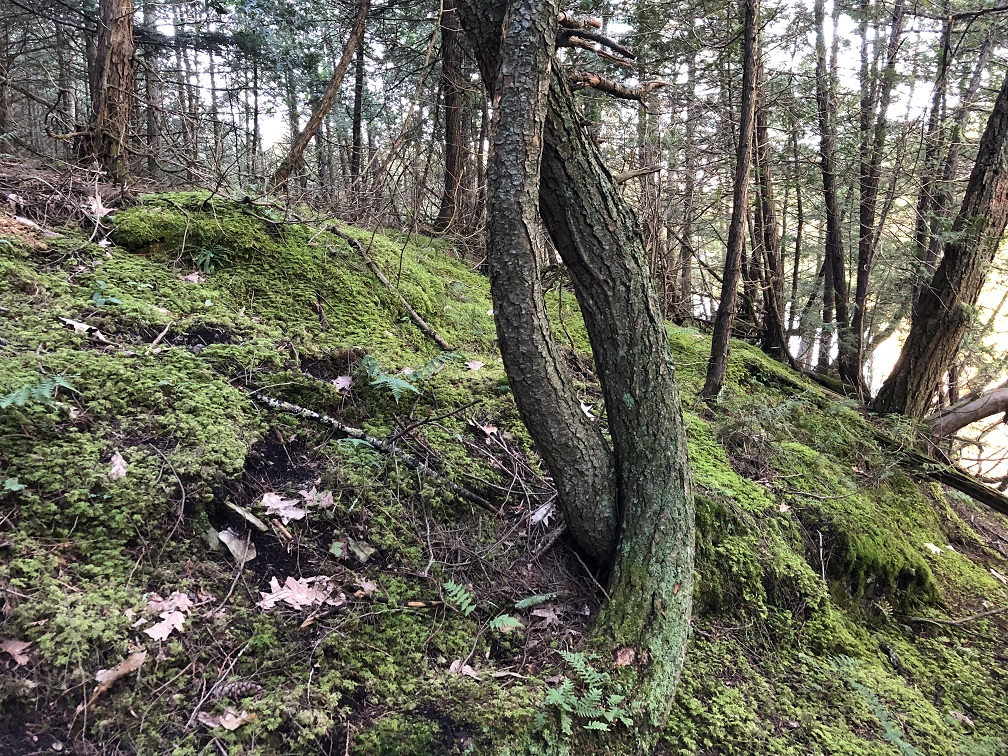
After hitting the river’s edge, the trail gets pretty technical for about a half mile, with some beautiful views of the gorge on side trails, and some very “scrambly” sections – Some of them steep enough and slick enough that the trail crews (shout out to John Derick!) have placed cables to assist hikers and runners. I know from experience that this short section, late in the race, can be tough on the runners! In some places, the moss on the ground and the gnarly trees is quite lovely. A friend and local photographer and arts teacher Josh has christened this section “The Shire”.
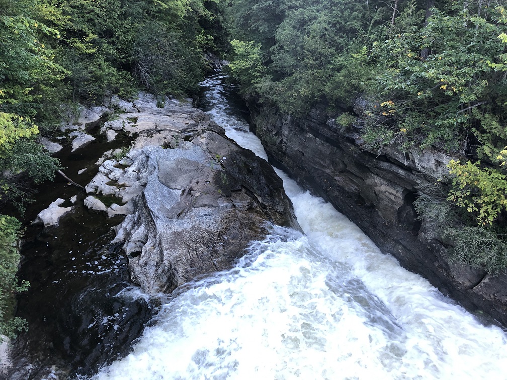
The trail hits the Belden Dam at about 2 miles, and with the wet summer we have had, the water was roaring through the natural sluice formed by the river as it plunges into the gorge.
My return to the car was a right turn shortcut, not on the TAM race trail, and was mostly through the forest. One of the hidden gems of the TAM is along this path. When one reaches a thicket of small hemlocks on your left, once you pass them, and take a short bushwhack to the left, looking to the left for about 100 yards on a very weak herd path, there is a small family graveyard, most of the gravestones in from the VERY early 1800s, with the surname of “Belding”. I am presuming that the name “Belden Dam” is based on word of mouth communication of the family which once had a farm here very early in the history of the area.

From this point, the run was pretty straightforward, and the late afternoon sun looked beautiful on the pastures. At the last few steps, returning to my car, the Blue Beetle, I saw that some of the local cows had blocked a section of the trail. This ended up being a very pretty, but short 3 mile loop. I took my time due to my trail marking, and the half mile section along the river was very slow going, but the rest is an easy trail run with excellent footing!