The Moosalamoo National Recreation Area, the region which encompasses many of the runs on this blog, is one of the wonderfully underutilized outdoor resources in the northeast. This region, roughly delineated by Rt. 125 (the Middlebury Gap road) to the north, the main ridge of the Green Mountains to the east, Goshen and Brandon to the south, and Lake Dunmore to the west, provides a treasure trove of places to explore right at our doorstep in Addison County. While it lacks the alpine terrain and rugged mountain scenery of the Adirondacks or even the higher peaks along the Long Trail, its smaller rolling peaks, and numerous lakes and meadows, forests and streams could provide a lifetime of outdoor recreation for most people. In other words, with its less drastic, comfortably scenic terrain, it is an ideal place for trail running!
I have been eyeing my maps recently, looking for interesting “point-to-point” runs which might make for good runs with friends to share the driving at each end. A free, detailed, and USUALLY (note foreshadowing) accurate map of the Moosalamoo Region is available, free of charge, at the Middlebury office of the Green Mountain National Forest, just south of town on Rt. 7. I had some suckers, I mean fellow runners lined up to work out a car shuttle and accompany me on one of these runs, in the persons of a few of our summer research students at Bicentennial Hall. Actually, since these guys are on the varsity cross country running, I had my work cut out for me. Fortunately, I sort of knew the way, they did not, and I refused to part company with my map.
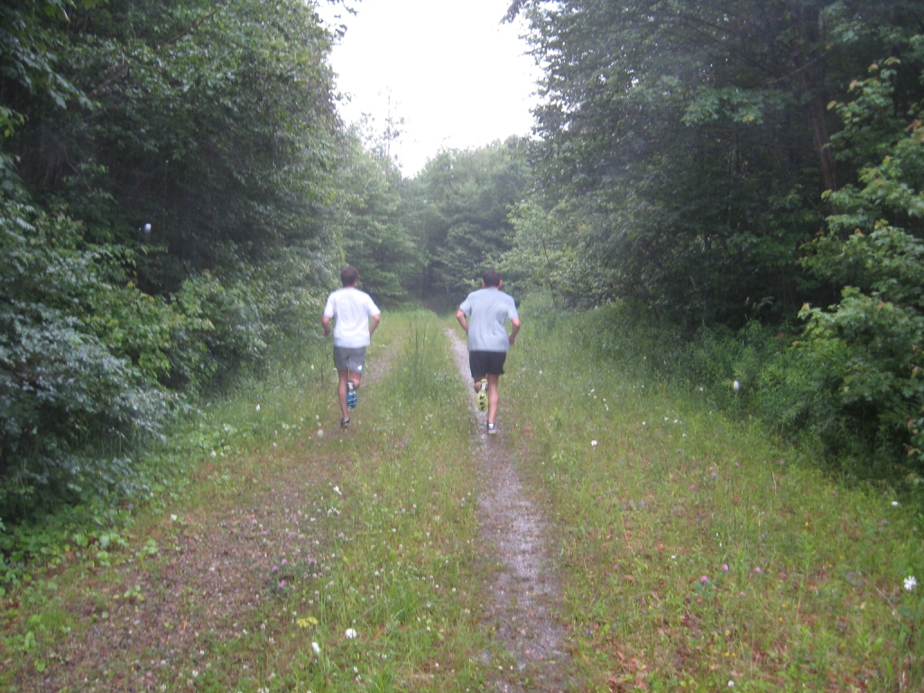
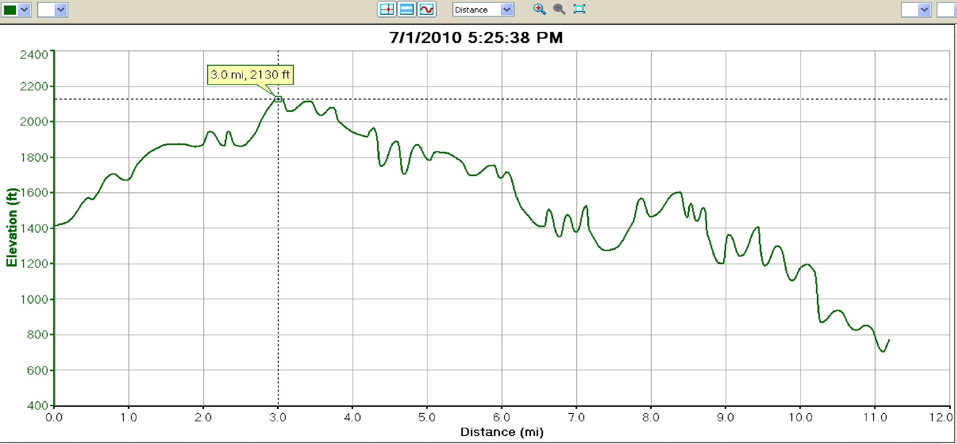
This run’s goal was to run a complete traverse of the Moosalamoo region, without actually climbing Mt. Moosalamoo itself, for obvious reasons. With this in mind, we started in the far Northeast corner of the region at the now familiar Brooks Road trailhead, right below the Snow Bowl, a short distance from Rt. 125. The first few miles of this run follow the route described a few months ago in the posting entitled “A Tale of Two Weekends.” As a result, almost all of the climbing was done in the first three and a half miles of the run, the ascent of Brooks Road. From the start, my two young trail running acolytes were chomping at the bit to dash up the first ascent, but I reminded them at I was more or less the same age as their fathers, so they relented. I also reminded them that it was my car awaiting us at Lake Dunmore, and I had the key. Smart Kids! The weather at the start was cool and partly cloudy, ideal for running, but as we proceeded up the dirt road, the rain began, and gradually increased in intensity. By the time we reached the terminus of the Brooks Road, it was an all-out downpour.

Heading back into the woods for true trailrunning, we turned right onto the Sucker Brook Trail for a few miles of gradual descent through the Blueberry Hill nordic ski trails. This run would be more or less running parallel with the Sucker Brook over its duration, and we would run closely alongside it again at the run’s completion. When the trail emerged from the woods onto the Sugar Hill Reservoir access road, instead of turning right to return to the start, we bore left downhill until we reached to Ripton-Goshen road.
At this point, we were heading into terrain where I had never traveled, so I was depending on my trusty Moosalamoo Region map for guidance. Despite the fact that it was now quite soggy, it was still legible. The map indicated that a trail leading towards our desired destination should be found immediately across the road, but we quickly realized that it was passable, but far more overgrown than we had anticipated. It appeared to be more or less unused, since the previous editing of my trusted map! Rather than loose face with my more fleet-footed young friends, I realized that a right turn on the Ripton-Goshen road should lead us to another VAST snowmobile trail, which in turn should get us to Lake Dunmore. This time, my directions fortunately proved more accurate, and the desired trail appeared on cue after about a quarter mile. A left turn on this well-marked VAST trail wound through some of the least traveled sections of the route, and after a few miles concluding with a very steep, but short climb, joined up with the dirt road connecting Silver Lake with Goshen, part of the first Silver Lake route described on this blog last summer.
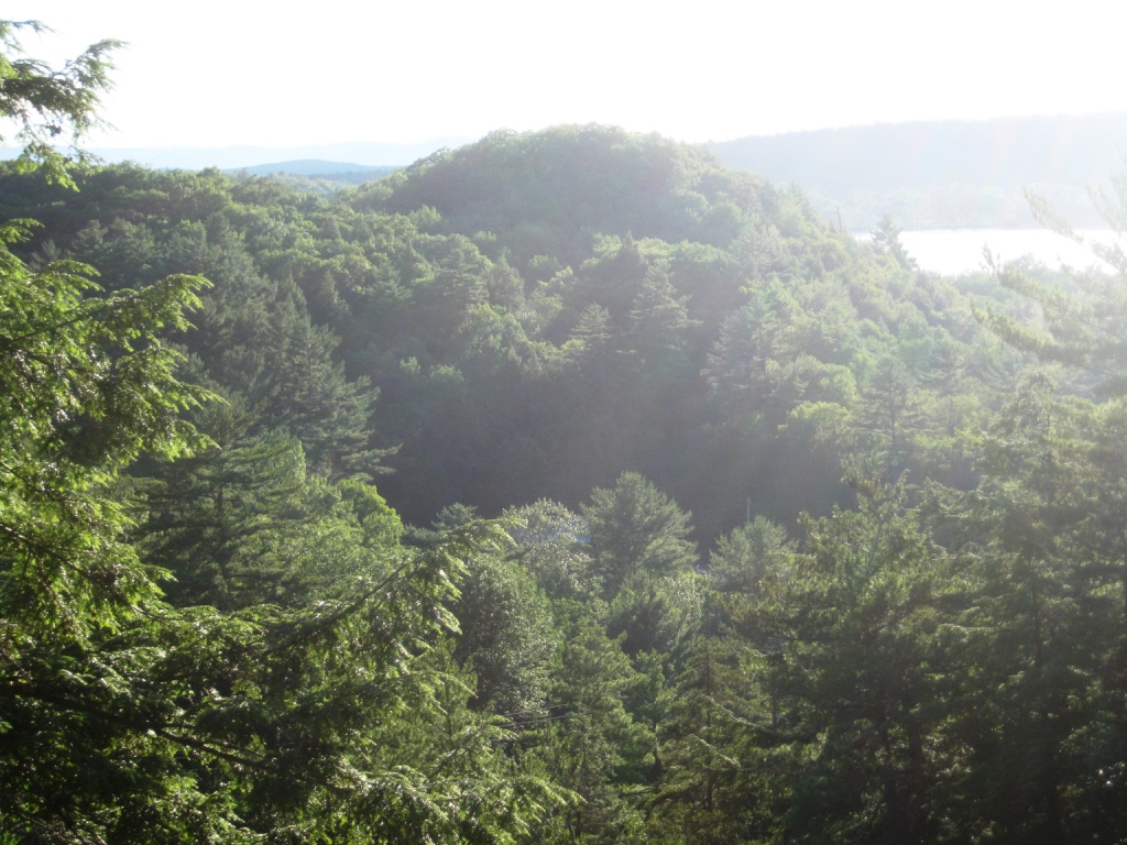
While all of us were starting to tire a little at this point, the sun broke through for what promised to be a brilliant sunset, so rather than merely descend on this dirt road to our waiting car, we threw in one last short climb, taking a left turn until we reached to Goshen parking lot for Silver Lake, where we finally began the final descent. The trail down to the Leicester Hollow trail was a little bit slippery from the rain, but taking it easy made for a safe trip. A right turn on the Leicester Hollow trail, followed by a short stretch along the shores of Silver Lake and a final descent down to the Falls of Lana parking lot could have finished a great run. As we ran alongside the Sucker Brook once again, we noticed the setting sun shining through the trees over the top of the Falls lookout, so we had to stop and enjoy the view.

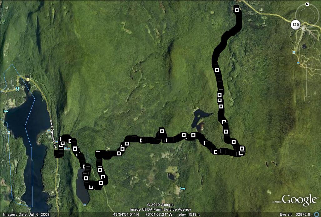
After soaking up the early evening sun, we finally completed the run. This ended up being one of the longest runs to date on this blog, measuring in at slightly more than 11 miles, with about a thousand feet of climbing, offset by an even greater amount of descent. Needless to say, I am eyeing my map (a new copy, after all, it is free!) for other good point-to-point runs to report on later this summer. The Google Earth/GPS track of this run really shows off the breadth of terrain covered, from the Snow Bowl in the Northeast corner, past several major bodies of water, to its conclusion near the shores of Lake Dunmore.

