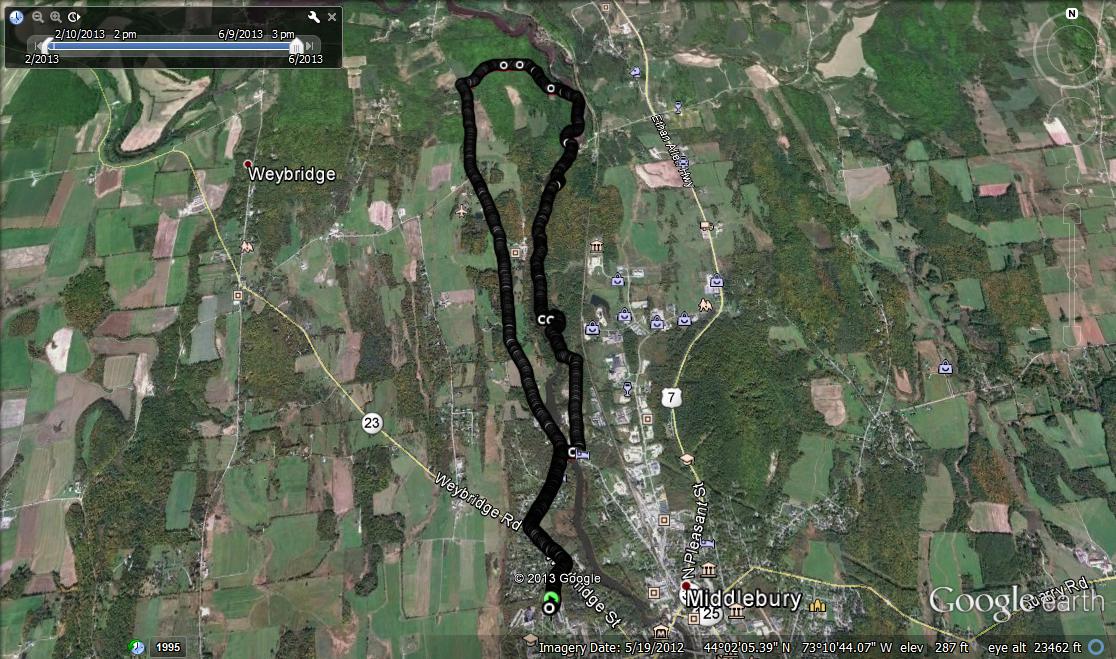
After what seemed like the better part of a week of cold, rainy weather, Sunday brought some gorgeous sun, so it seemed like a good day to blog a run. I knew going into things that the trails were going to be very muddy, so any desire for dry feet was going to be futile. In other words, what could be a better day for a low lying trail, alongside a river, which is muddy even in the driest spells of summer? In previous runs, I had described the run through Wright Park (just north of the newly renovated Pulp Mill Bridge on the east side of Otter Creek) in either a northern loop of the TAM (The Trail Around Middlebury), or incorporating this section of trail in the course of a complete circuit on the TAM. In both of these previous runs, upon reaching the Belden Dam, a few miles north of town, I continued straight towards the Morgan Horse Farm Road on the main loop of the TAM. I also knew, however, that there was a spur trail on the TAM that made a sharp turn after crossing the dam, and that the trail signage indicated that this trail headed into a gorge. Knowing nothing about what sights might be found, I decided to make this new stretch of trail the goal of this run.
I parked my car in the parking lot in front of the Freeman International Center (FIC) on the Middlebury College Campus. A bonus point to older readers who know the 3-letter acronym this building was previously known by – and yes, I have used this as a bonus question on college exams! I headed out on Weybridge St, took a right turn onto Pulp Mill Bridge Road, and ran through the covered bridge, before taking the immediate left turn past the old town dump towards Wright Park. On previous runs through Wright Park, I had taken the “high road” – namely, the section of trail which remained on higher ground in the meadows and forest. On this run, however, I decided to take the immediate left turn towards Otter Creek after entering the park, to enjoy the stretch of trail right alongside the river. Given recent rains, the Otter Creek appeared engorged with water, and some of this high water caused the trail footing to be muddy and slippery.
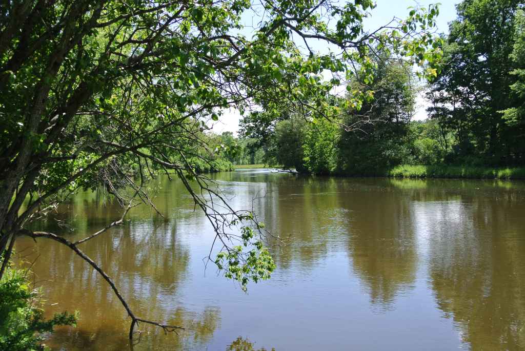
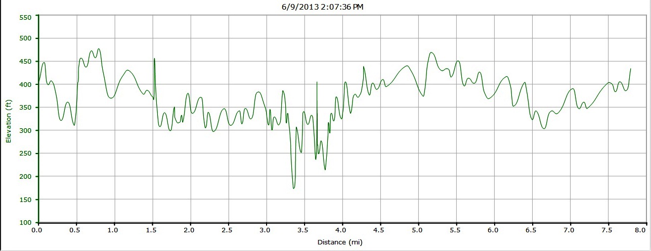
The roughness of this section of trail spoke to its lack of traffic, but in addition to the pleasures of running alongside the creek, it had a few other quirks, including a semi abandoned picnic table by the water, and a well-maintained wooden “zig-zag” bridge traversing a boggly inlet. After crossing this curious bridge, the trail entered some denser forest while remaining close to the waters’ edge. One warning to runners however – There are quite a few rocky slaps in the trail, which can be very slippery when wet – and they always seem to be wet! One skidding tumble leading to scratched and bruised shins early in the run forced me to watch my footing in subsequent sections. I reached the Belden Dam, a small hydroelectric plant, however, at about the 3 mile mark (measured from my parked car) and crossed the two small suspension bridges over the dam. Pausing for a moment, I enjoyed the sight of the swollen river being disgorged over the top of the dam to the narrow rocky chutes below. On the west side, I began to explore the section of trail that was new to me, taking the sharp right turn. I was not sure what I would see here – given that this section is referred to as the Otter Creek Gorge, I had hoped that the trail would bring me alongside some precipices, and was disappointed to find that this was really not the case – the gorge is indeed a wilder refuge than most of the land surrounding the generally gentrified Otter Creek, but staying on the trail did not manage any rocky gorge scenery. Nonetheless, I am planning on returning at some point to bushwack closer to the waters’ edge. Nonetheless, this was a muddy, but pleasant run through the woods, with a few brief streamside sections.
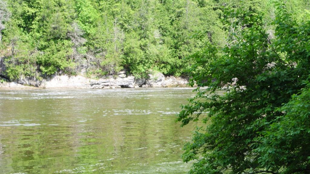
After following the creek for close to a mile to the north, the trail started to veer to the left, and eventually reversed its course on the higher, but no drier ground. As the trail emerged from the forest into a well-kept meadow, I was pleasantly surprised to discover that somebody had placed a bench and picnic table here!
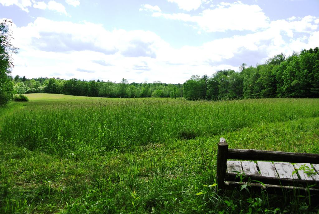
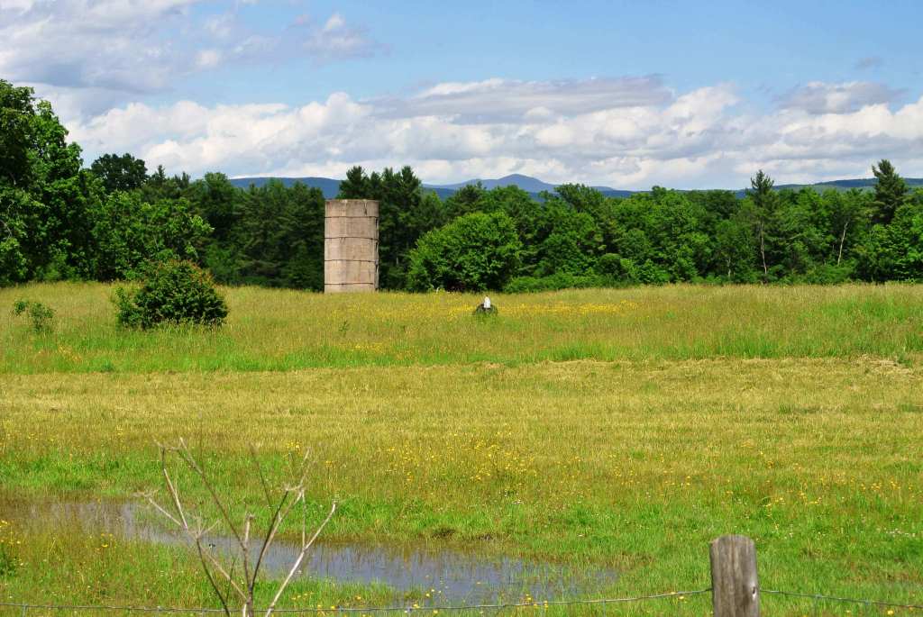
Shortly after this meadow, I came to a split in the trail – the left fork would take me back to the Belden Dam, and the right fork emerged from the woods shortly onto the easier running of Morgan Horse farm road. While I hated to abandon the trail for the roads, I was running out of time, and needing to bring this run to a close, chose the more rapid return offered by finishing the day with a few miles on the road. It is not like I had suffer doing this, of course, as the Morgan Horse Farm road is one of the most scenic stretches of pavement in Addison County. I passed by the fine Georgian home which was once the home of former Middlebury College President (and the man who had the foolishness to allow for my hiring!), Olin Robison, before reaching yet another meadow vista, this one framing a view of Mt. Abraham in the distance.
At this point, it was starting to get pretty hot outside, and in due time, I was back to Pulp Mill Bridge Road, the Middlebury College Campus, and my waiting car. The entire loop covered about 7.8 miles, but took longer than expected due to slow going in many slipper sections. Nonetheless, it was indeed a gorge(ous) route, and I am looking forward to further exploring out here when things are a little drier!
