I had long heard of a fun trail up Snake Mountain‘s little brother, Buck Mountain. Buck Mountain consists of a low lying, N-S ridge a few miles north and east of Snake Mountain, in the bustling community of Waltham. Looking at it from the west, however, I could see that it had some west-facing cliffs leading me to assume that it should have views just as nice those from its big brother! Googling the route prior to the run, I came across a web entry indicating that there was, or at least had been a geocache at the summit. For those of you who are not familiar with geocaching, it is a sport in which a small waterproof container containing a logbook and perhaps some small inexpensive trinkets is stashed somewhere in the woods, with GPS coordinates as the primary clue to its location. So, prior to this run, I signed into the geocaching website and wrote down the coordinates for the Buck Mt cache. I will not share these coordinates here, since those who posted them did so on a site which required free registration, but the site where they are available can be found very easily through normal searching methods.
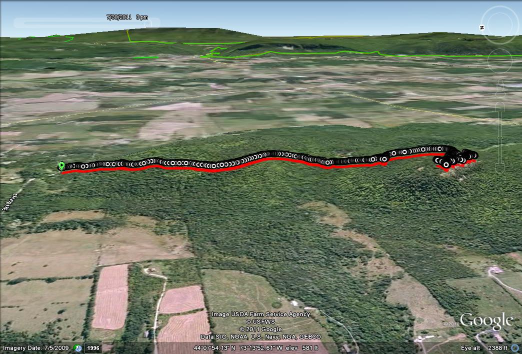
The Buck Mt. trailhead requires a short drive from Middlebury – head north on Rt. 7, and take the left to the west on Rt. 17 where the two routes cross at New Haven Junction. After about a mile and a half, take the right turn on Green St., and then after a longer mile and a half, take the left turn onto the unpaved road called (somewhat ostentatiously, given its modest size) “Route Sixty Six”. Head uphill until you reach the height of land, and there will be a small pullover on the left side of the road. The unmarked trail begins here, and a few other places as well it appears from the meandering nature of the first 50 yards or so of the trail. I was forewarned that there were quite a few paths intersecting the main Buck Mt. Trail, but the main trail would be obvious, and fortunately correct. So, I strapped on my GPS, popped my camera in my pocket, and headed along the ridge for the summit overlook.
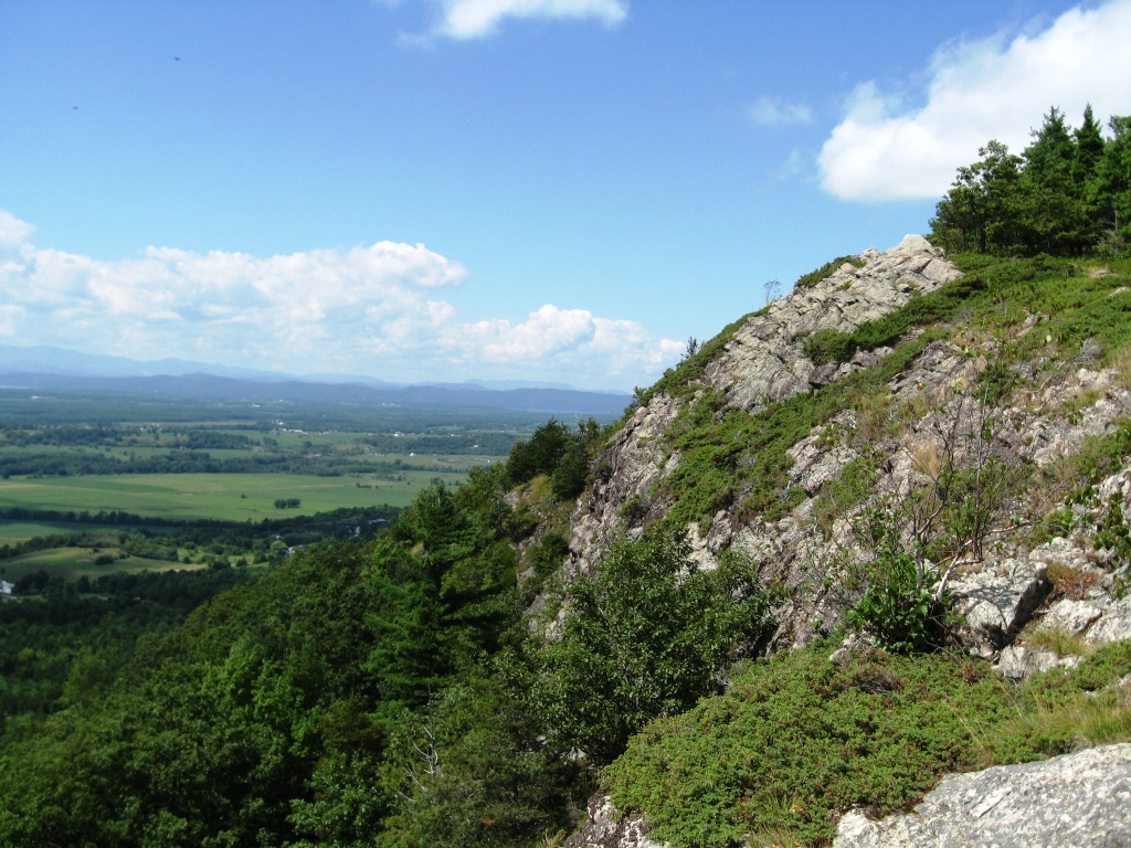
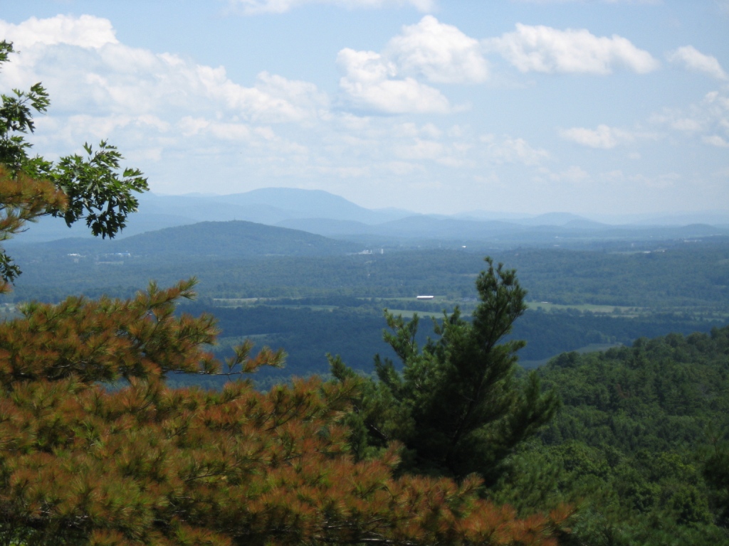
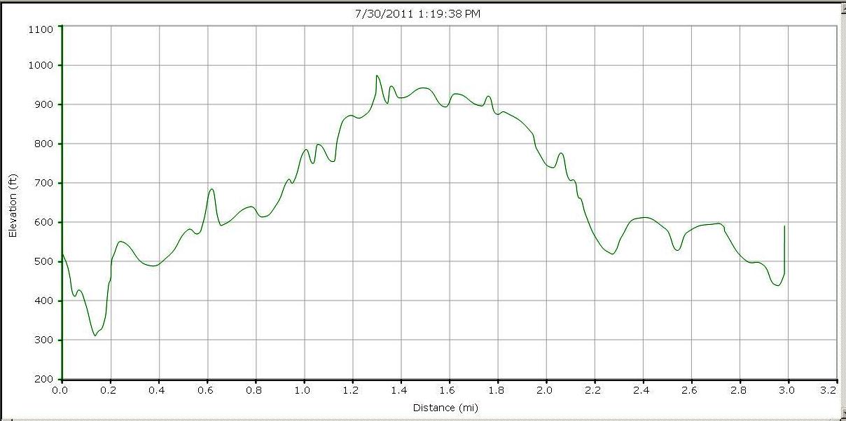
The path was pretty flat at first, and then did a series of short climbs, and one modest descent before the final climb to the summit. The trail was generally pretty dry, and did prove pretty obvious to follow, despite the lack of markings, and the presence of a few crosstrails leading to unknown destinations. When I reached the summit after what proved to be a very short run – a mile and a quarter, I was immediately impressed by the views. Like Snake Mountain, it did have a wonderful view of the Champlain Valley and Adirondacks to the west, for a fraction of the effort.

After soaking up the view in solitude for a few minutes, I set out to find the geocache. While my set of coordinates led me to a place on the summit which appeared to fit the search hints, as well as the exact coordinates, I could not find anything which fit my vision of what might be entailed in a summit cache. The only major sign of human habitation found in this vicinity was an empty Bud Light can (ugh) but my efforts did lead to a treat of sorts – a “cache” of wild blueberries, which I took a few minutes to enjoy. I am not sure what happened to the geocache – perhaps I was not thorough enough in my search, or perhaps the cache had been removed. The site where I learned of the webcache had listed its last known finding at over a year ago. On the outside chance that I had erred in my GPS use, I looked along the full length of the ridge, and while no cache ever appeared, I did get a nice view of Middlebury as I rounded the south end of the ridge. You can see the Middlebury “skyline” up against the south slopes of Chipman Hill, if you look carefully!

The return to my car made this a very easy, but very pleasant run, even if my goal of finding the geocache met with failure. The round trip on this run would be a mere 2.5 miles, which I stretched to 3 with my summit meanderings. Nonetheless, the short distance, and modest climb (about 400 vertical ft) makes this an excellent trail run for those new to the sport, and looking for a little bit of climbing. Does anyone know anything about this cache – was it removed, abandoned, vandalized, or do i just need to hone my searching skills?


I don’t know about the geocache, but I do know about the hike! Great description.
Can’t wait to hear about Shellhouse Mountain too! (hint hint)