Given the myriad of routes through the Moosalamoo region, and the great running weather, I thought it would be fun to try yet another long run bisecting this region and concluding at the Falls of Lana trailhead. My two lab assistants, Jack and Tyler, were also eager to explore some new terrain, so we decided to do another run involving a car shuttle. The original plan was to commence the run from the Robert Frost trailhead off of Route 125, but upon our arrival, we noted barriers across the trailhead announced that it was closed to the public due to the ongoing road construction. While signs of this type don’t necessarily dissuade me from exploration, the fact that the entrance was zealously guarded by Officer Obie of the elite “Hunter North” private law enforcement corp (complete with lights blazing on his vehicle in an example of comic overkill) provided enough inducement for me to change our plans. Is it just me, or does it seem that they are not really trying to fix Rt 125? This road project seems to be turning into an ever-widening exercise in dust generation on dry days, and mudpie baking on rainy days. I am beginning to suspect that at the end of the summer, they are going to announce that the whole thing is a big joke, and that there will be no new pavement, just the usual bumpy road.
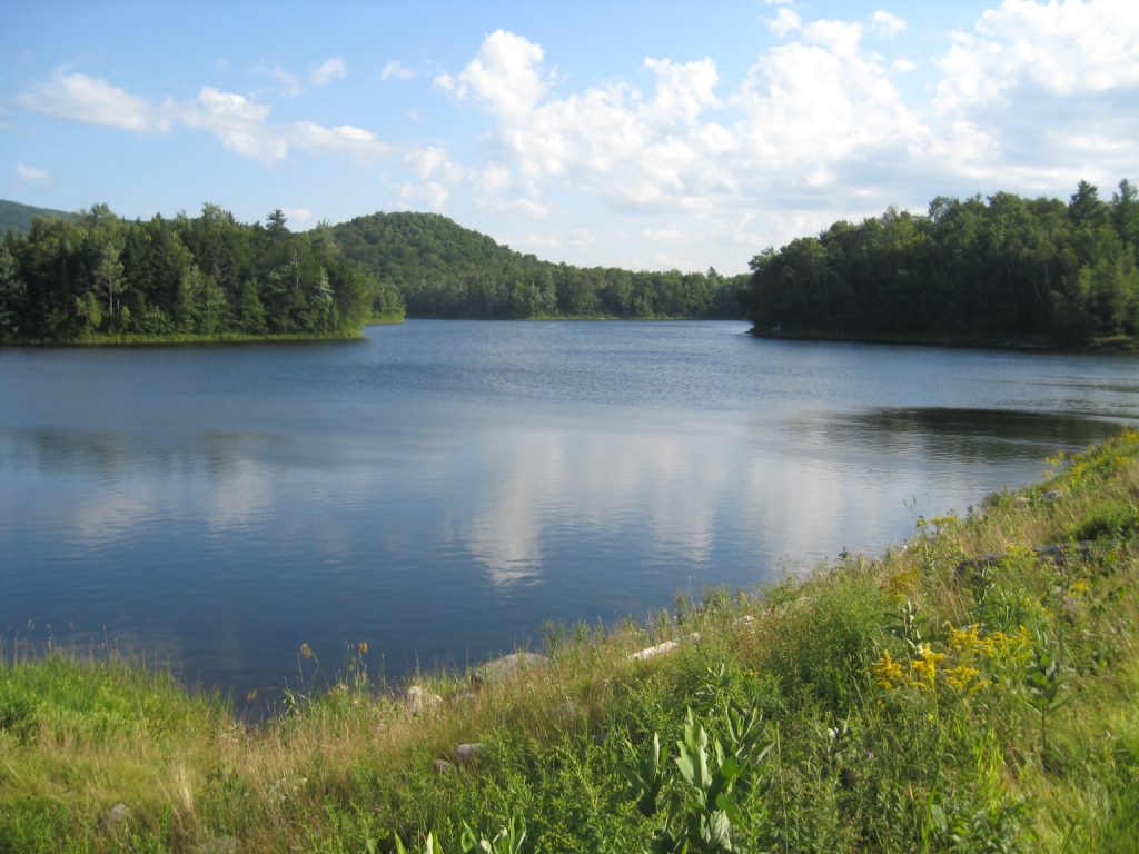
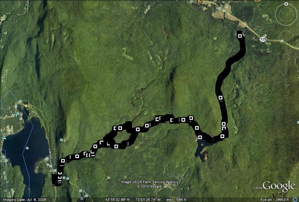
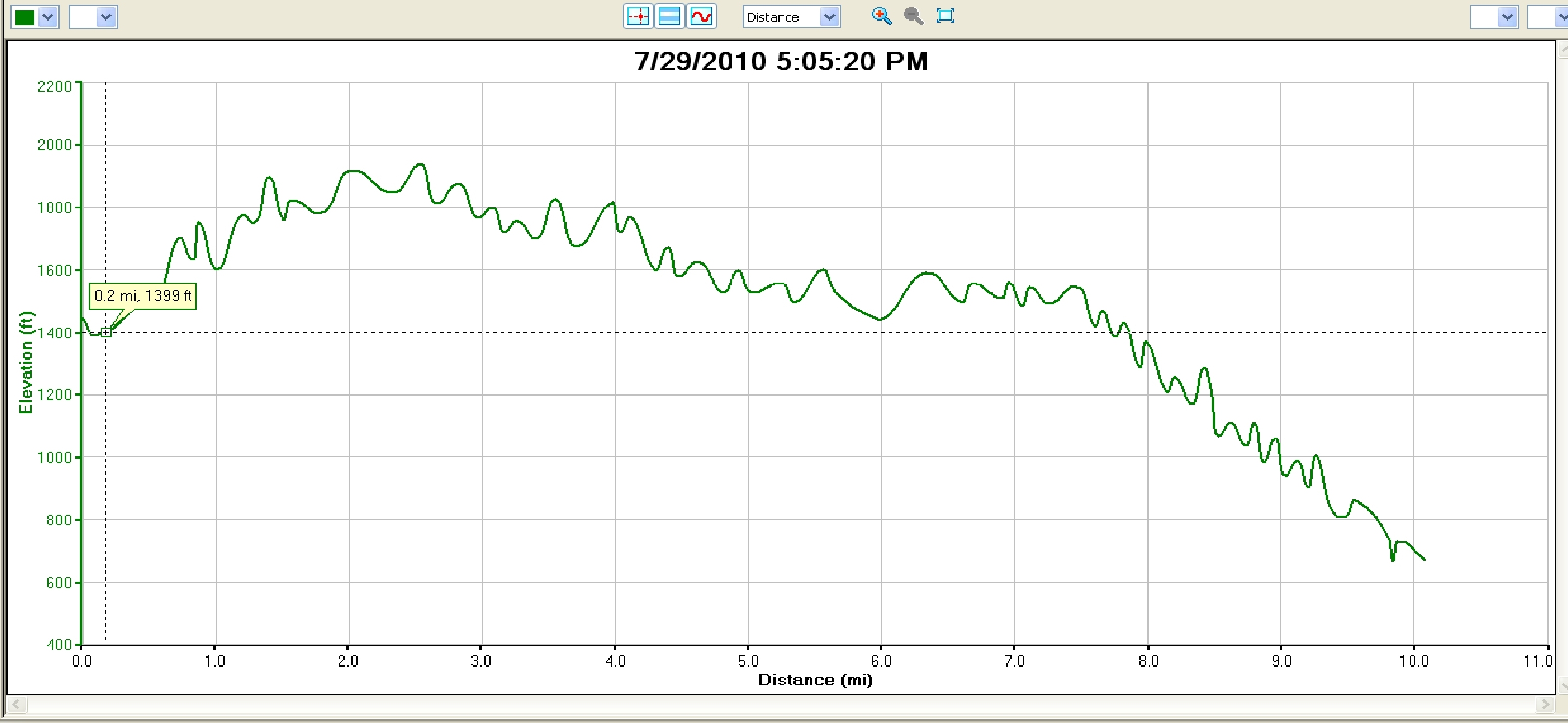
The above rant aside, the unanticipated change in course led us back to the same trailhead as many of this summer’s runs – the Brooks Rd. Parking lot. The first few miles of this point-to-point run coincide with the first segments of the run described in the Widow’s Clearing run, described earlier this summer. In brief, we started up the Brooks Rd. (just past Breadloaf on Rt. 125) at an easy pace until we reached the right hand turn at about 2.5 miles heading to the Sugar Hill Reservoir in another half mile. The crest of this side trail got us over the high point of this run, after about 500 ft of ascent. While there were plenty of ups and downs after this point, the predominate direction was definitely down.
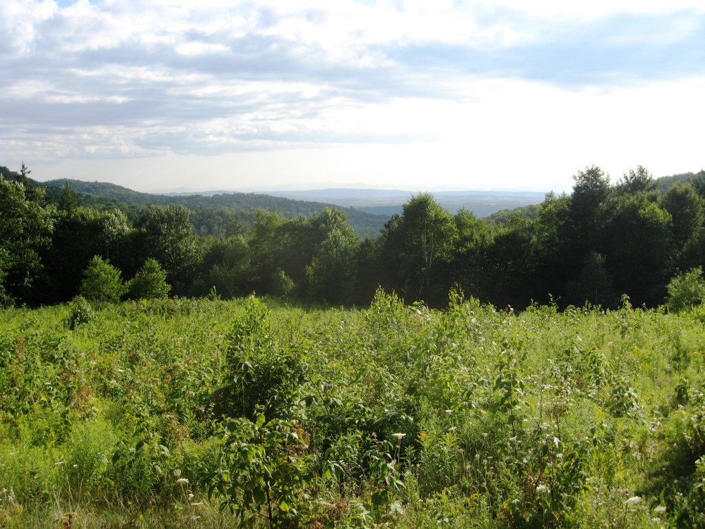
Taking the sharp right turn onto the Blueberry Hill ski trail, still following the Widow’s Clearing route through the forest led to the point where this route branched off from previous runs. About 1.25 miles after passing the shores of the reservoir, take the left split in the trail heading towards the gated road – a right turn here would continue the Widow’s Clearing run. This left turn leads promptly to the Ripton-Goshen road, where a left turn is quickly followed by a right turn onto the well-signed forest service road heading towards the Moosalamoo campground. The next segment of the run, while not challenging, is somewhat less pleasant than it could be due to the road construction of large crushed stone, which necessitated careful attention to ones feet to avoid loose stone, and the foot-bruising effect of an ill-placed footfall. In other words, it is fine for motor vehicles (which we saw none of), but not quite as good for runners. Nonetheless, this segment was worth the effort, as it led after a mile and a half to the glorious view at the Voter Brook Overlook. This viewpoint peeks through a break in the mountains out towards the Champlain Valley and the Adirondacks.
Backtracking from this point, we reversed our steps for about a mile until we came to the point where the North Branch Trail crossed the road, and turned right into the forest. Enroute to this trail, we also crossed paths with the Keewaydin Trail, but since our Moosalamoo Region Forest Service Map showed the trail in a totally different location, we were unwilling to take it. As it turned out, the Keewaydin Trail and North Branch trail met up along the route, so either is a fine choice. The North Branch Trail led gradually downhill, and was easy to follow. Some sections were fine for running, but a few short sections required careful foot placement to avoid falls on slippery rocks and stream crossings. Nonetheless, this was an aesthetically pleasing section of forest running.
The North Branch Trail eventually wound its way down to the Rattlesnake Cliffs Trail,where a left turn brought us shortly to the Sucker Brook stream crossing. A well constructed footbridge over the stream at this point was washed away in one of the massive storms which plagued Addison County during the summer of 2008, necessitating a little rock-hopping to get across the stream. This was followed by about a half mile on the Silver Lake trail, returning us to our cached car at the Falls of Lana trailhead, just outside of Branbury State Park. My GPS showed a run of 9.8 miles at this point, so a few hundred yards extra on the road brought this up to an even 10 miles. Overall, while this run was shorter than the route of the previous posting, it took about the same length of time due to the greater technical challenge of running on these trails. It is also a more scenically pleasing route, however, due to the great views of the Sugar Hill Reservoir and from the Voter Brook overlook.


