While the snow cover is much improved from my last posting, the gorgeous spring-like weather could bring the ski season to an early close, so I had to get out over the weekend and enjoy the deep, but increasingly slushy snow. You will also notice something very different about this post. As a rule of thumb, I am usually a purist in that I earn my descents by putting out the effort to gain altitude first. But today, I felt that a lobster analogy was quite appropriate. Most of the time, the effort of cracking open the lobster, and prying the meat out of its exoskeleton is just the cost of enjoying its sweet flavor. But every now and then, as a treat, you just have to say “to heck with it” and order the Lobster Newburg. Today was my Newburg day. How so? I cheated and took the bus uphill, making it a tour with far more descent than ascent.
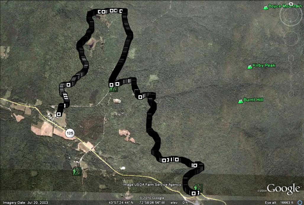
My primary destination today was The Norske Trail, a short wilderness run which begins just above the entrance to the Middlebury College Snowbowl on Rt. 125, and concludes at the Rikert Ski touring area. Instead of doing this route as an “up and back”, I made use of the ACTR bus which picks up passengers at Breadloaf and concludes at the Snowbowl. The trailhead for the Norske Trail is a 5 minute walk uphill on Rt. 125 from the turnoff to the Snowbowl.

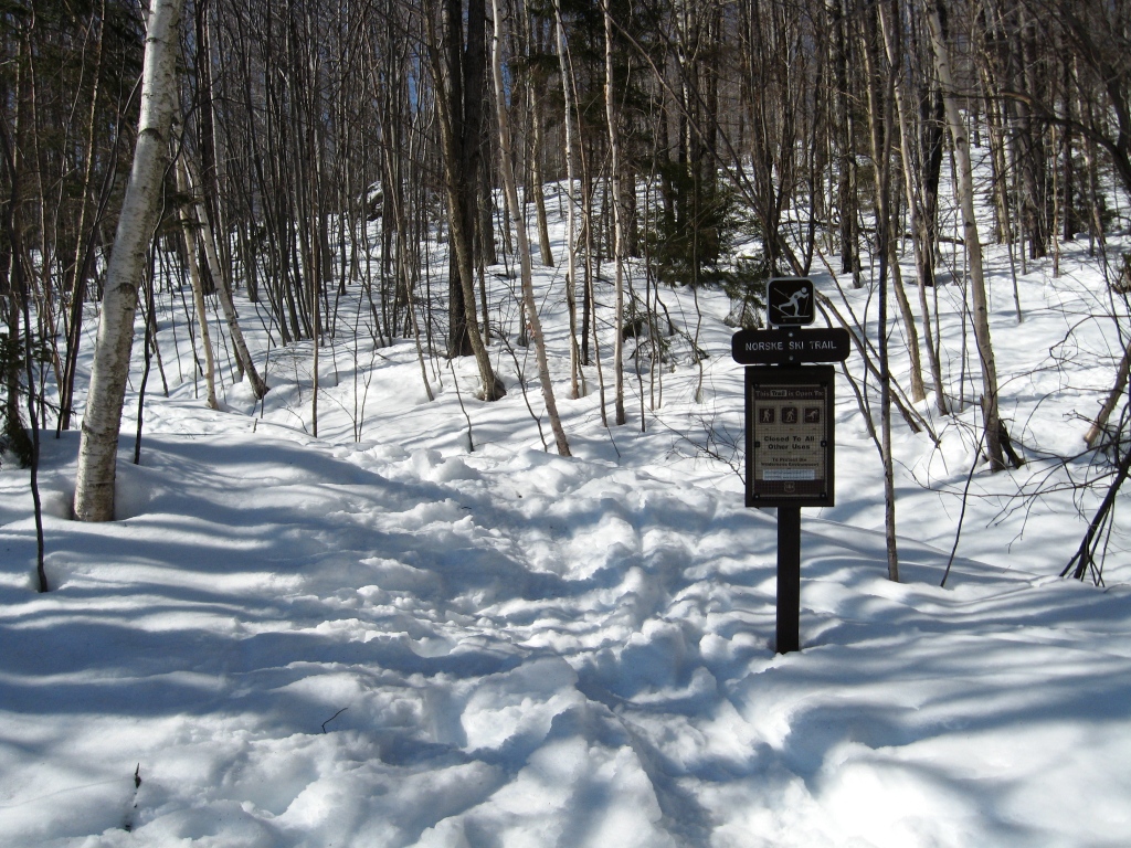
Trailhead Marker
The Norske Trail is much more of a wilderness trail than those in the ski touring areas, or snowmobile trails of earlier posts. It starts off with a series of modest climbs and descents, and despite the lack of grooming, is never particularly challenging. While the trail never seems to get heavy use, you can pretty much count on the trail being broken within a day or two after every good dumping of snow. Cruising along through the open hardwood forest, I eventually came to an overlook, with good views across the valley to Moosalamoo, and the meadows of the Breadloaf campus. I could see from the well-beaten snow where previous ski and snowshoe parties had also enjoyed the vistas since the last storm.

Norske Vista
Continuing the gradual descent, one eventually gets to a section where there are several intersecting trails, including the Burnt Hill trail, an easy summer hiking trail which reaches the top of the Green Mt. Ridge. I chose to follow the ski trail marked with blue diamonds until it intersected with Forest Service 59. At this point, I had been descending at a leisurely pace, covering a little over 4 km in about 45 min. I knew that a right turn on FS 59, and a left turn onto the Gilman Trail would bring me to the Rikert Center in about 10 min, and I wasn’t ready to call it a day, so I instead stayed on FS 59 for another km or so until I got to the groomed descent on the Brown Gate Trail, extending my afternoon’s ski a little deeper into the touring center. The remainder of this route is made up of the same trails described in the opposite direction at the beginning of my post entitled “Robert Frost Cabin“. Immediately after crossing the bridge over the beaver pond outlet, I spied a notice affixed to a nearby tree. Curious as to its message, I stopped for a moment to read it. Needless to say, I am relieved to note that some of my fellow backwoods sojourners are concerned for my safe passage in the presence of fierce wildlife.

Watch out for Angry Buffalo!
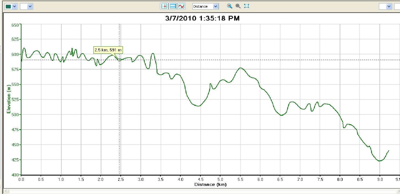
An easy cruise on Rikert Center trails brought me back to my car at the touring center. This was a relatively short tour, covering a little over 9 km, with an overall descent of about 600 ft, but with enough ups and downs, and less manicured trail to keep it scenic and challenging.
As a postscript, when I arrived at Rikert to catch the bus up to the start of the day’s ski, I was a little surprised to see an older gentleman skiing in a tux and stovepipe hat, as well as a much younger woman cruising on by attired in a jogbra and blue jeans. Unbeknownst to me, Sunday was the day for the rescheduled Breadloaf Citizen’s Race, a “Just for the Fun of It” race which I have participated in on many occasions in years past. While I was sad to have missed the race, I was glad to see the race go on in the same spirit of semi-competetive fun which has been its hallmark for decades.

Google Earth of the Route

Altitude Profile