In the summer of 2022, Aria Bowden ‘23 and SJ O’Connor ‘24, with generous help from the Sustainability Solutions Lab, walked around campus using the ArcGIS Field Maps mapping app, determining which parts of campus should no longer be mowed and instead turned into intentional ecological habitats for emission and cost efficiency, as well as for educational opportunity.
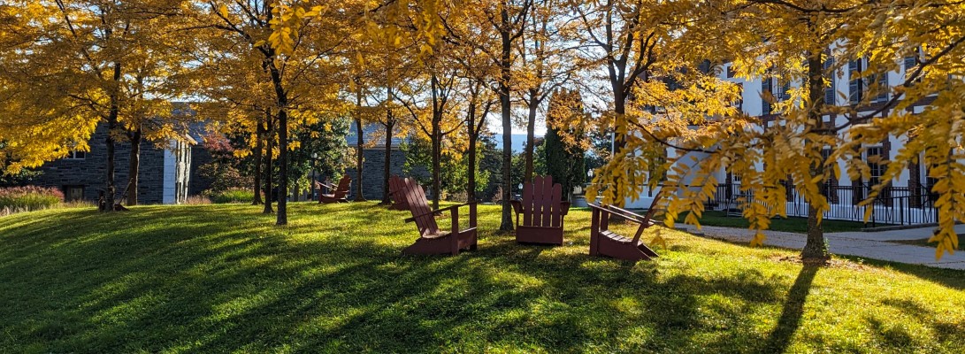
The success of this is the student input-they live here! Students know better than anyone what lawns are used, and what are not touched. Before Rewilding, they were all treated the same, rather than by use patterns.
There are two layers on the map below-existing lawns, and proposed lawns. Click on the eyeball to the right of the layer name to turn the layer off or on. This is our working map, but does not include athletic surfaces and areas mown by our athletic grounds crew. We welcome input and suggestions. In our 5 year plan, we propose 27 acres return to habitat spaces, rewilding about 25% of the acres presently maintained.