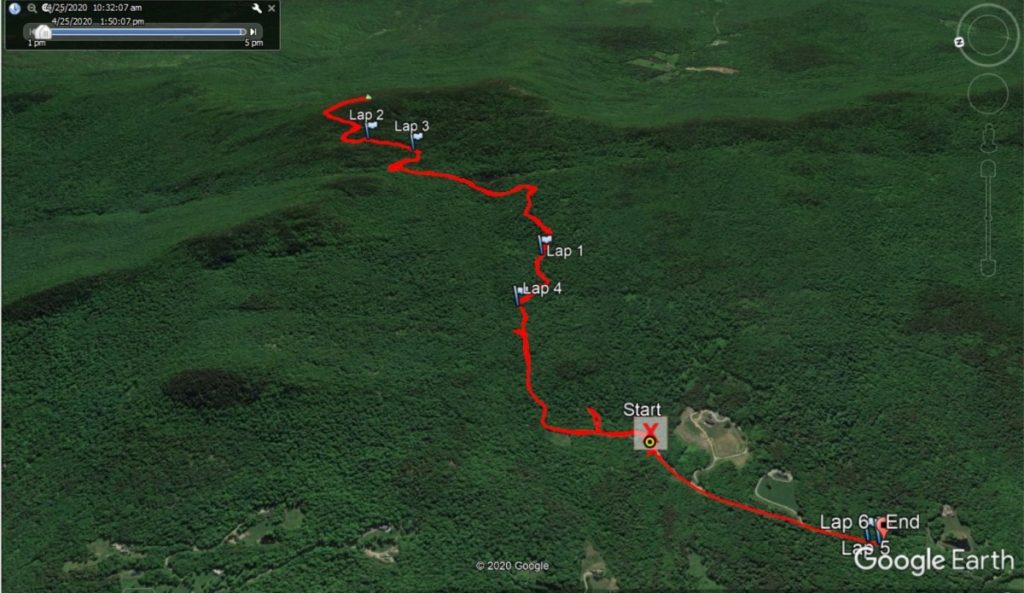
As I have mentioned from time to time in this blog, I have extended family living in the Mad River Valley, and sometimes when I describe fun places to run, I leave the comfortable confines of Addison County to describe nearby places “over the mountains”. One of my favorite hiking/trail running locations over the years has been Scrag Mountain, the highest point on the ridge on the east side of the valley, with a summit altitude just below 3000 feet. Some details of my relationship with this mountain are described in a blog posting I made of a run/powerhike that stopped just short of the summit 8 years ago. I haven’t been on its slopes since, but long, long ago (OK in February before the current Covid challenges) I was having a beer at Two Brothers Tavern, and noticed that they had “Scrag Mountain Pils” on tap, and since I had climbed the mountain, I should try it. Lawson’s Finest Liquids, a microbrewery in Waitsfield did a fine job on this brew, and it got me thinking of reascending this fun little peak when I had the chance.

A recent Saturday was brilliant and warm, and knowing I could easily remain 6+ feet away from other outdoor adventurers, I headed to the Scrag Mountain trailhead. Finding this trailhead is as follows. Just south of “The Dip” ( you will know it when you are there – it lives up to its name) on the East Warren road, take Sherman Road uphill and then take a left turn onto Bowen Road. After driving by a few mega-mansions, there is a small parking lot at the end of the road. Prior to this day, I had never seen another soul on Scrag Mountain, but I guess that cabin fever brought more than me outside, so there were probably another half dozen cars there. There was also a trail sign, describing the route through the Scrag Mountain municipal forest. Curiously, the sign only showed the trail continuing as high up as some beaver ponds, still almost a mile from the summit, but I knew that the trail continued further.
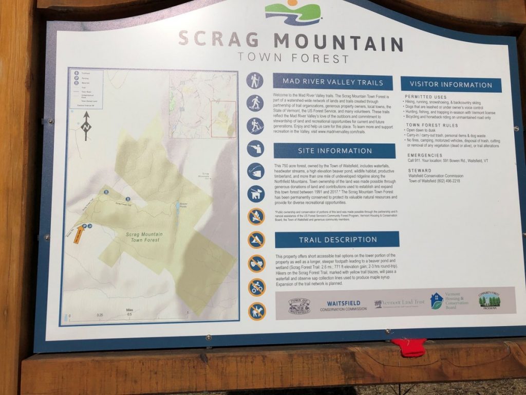
At the start of this ascent, the marked trail actually descended. There is also a continuation of the road, blocked off at this point, which I knew from my past experiences would get me to the trail as well, so I took this shortcut, which rejoined the main trail after a short traverse to the north. At this point, the trail was in pretty good shape – it had the feel of a popular, and reasonably well maintained hiking trail, and if I was in better shape, would have been runnable, or at least run/walkable. However, as the trail continued to climb, it got steeper, muddier, and less well maintained, albeit, still very well marked. In my previous midsummer excursion up here, I didn’t notice that this whole side of the mountain is crisscrossed by overgrown abandoned logging roads and ATV tracks. If it wasn’t for the ample trail markings, some sections might have sent less alert hikers off in incorrect directions. Finally, after about a mile and a half of ascending, I reached the beaver pond (s). This was a lovely place, worthy of the hike to this point on its own. As I approached it, the croaking frogs were so loud that I half expected to see a herd of geese on the pond, but no, it was just the frogs.
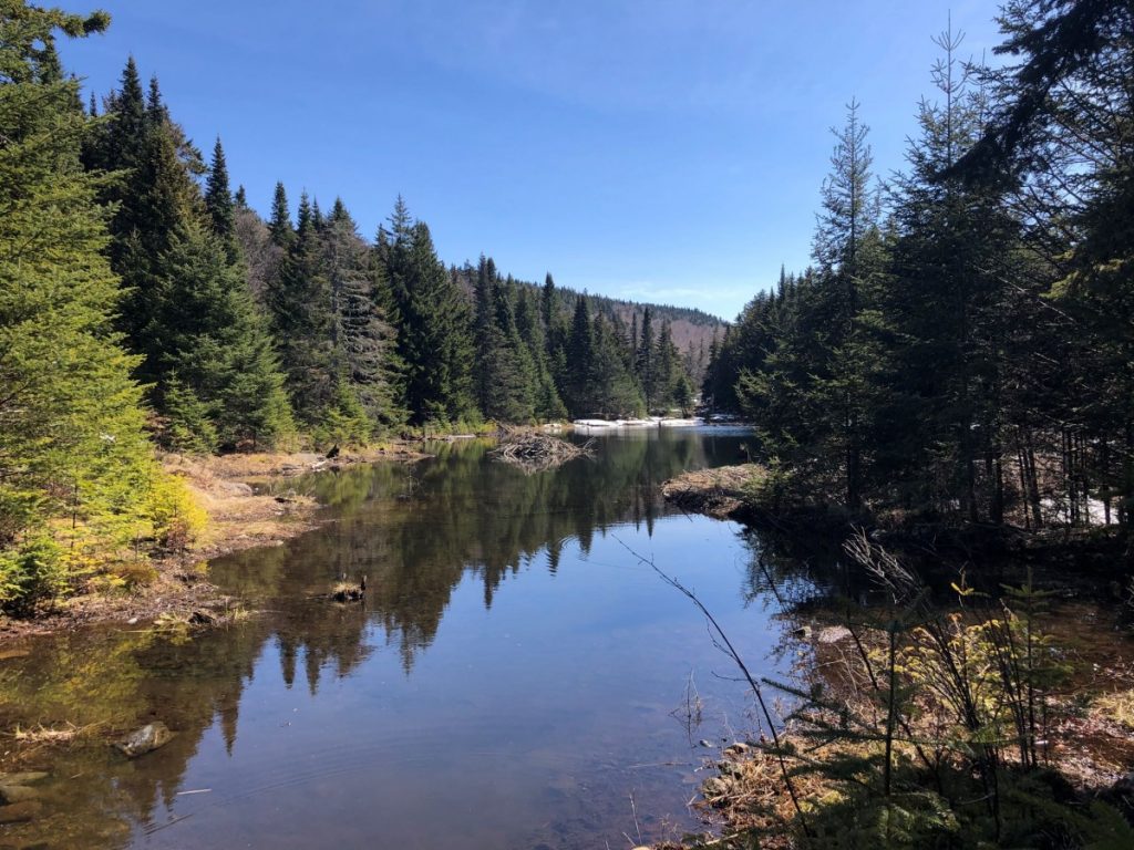
There was a lot more water in the pond than my last mid-summer visit to this location. Of course, there is more water in the early spring (there were still melting snow patches around the pond), but several other small nearby ponds hinted that the beavers themselves were far more active here than they were 8 years ago! One of the newer ponds was actually submerging the trail, forcing a little bit of easy bushwhacking to continue.
As the map at the trailhead hinted, the well marked trail concluded at this point, but with a careful eye, the much older trail continuing to the summit could be made out. Looking carefully, I could see occasional ancient blue blazes on the trees. Routefinding to the summit was also complicated by increasing snow and ice, further disguising the more trodden path. When I was unsure of myself, I started following a woman who looked like she knew where she was going, but when she stopped for a breather, I charged on, and probably spent a fair amount of time thrashing between tightly spaced pine trees. At least when ascending, you know that as long as you are going up, you will get to the right place. Curiously, the woman I passed caught up with me, and she confessed that she was actually following me now. The blind leading the blind.
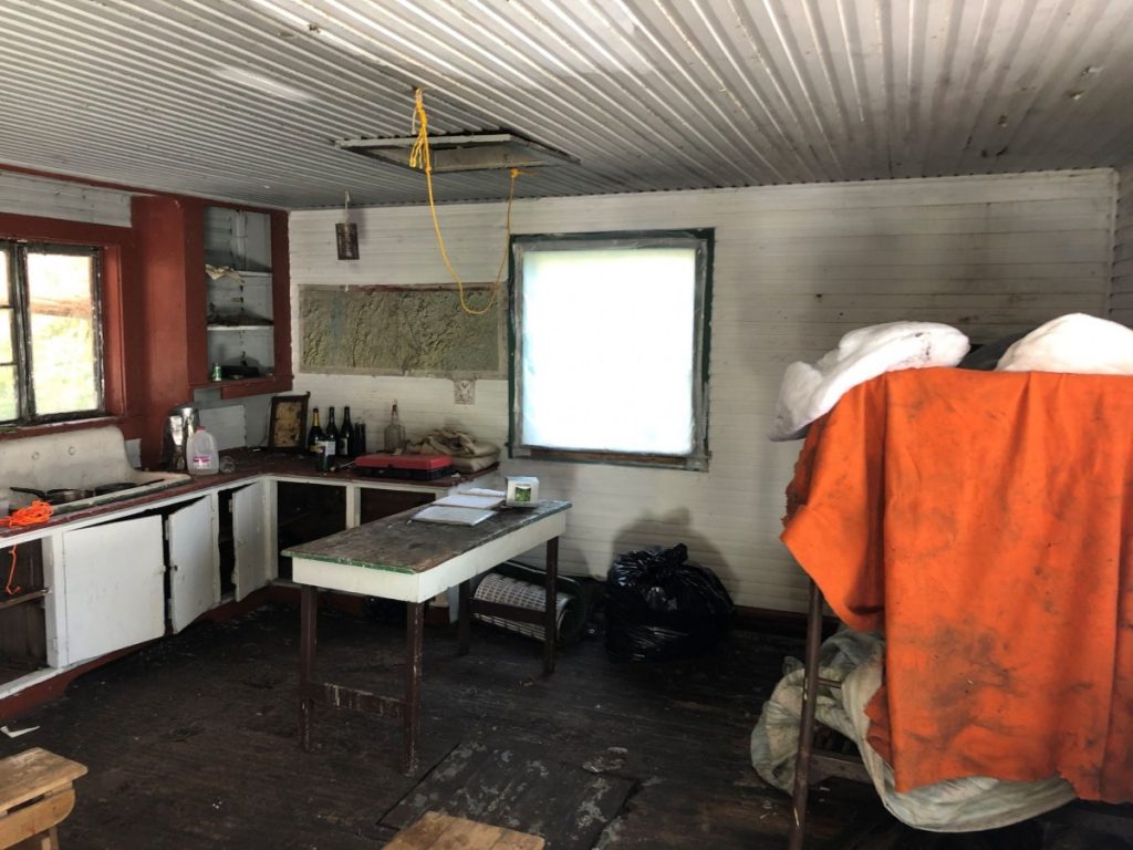
All paths up do indeed lead to the summit, and we found ourselves up there in not long. The Scrag Mountain summit has some history. For many years, there was a fire tower on the summit, which was finally torn down in the late 1970’s. The concrete pylons where it once rose are still easily found. The old caretaker’s cabin, built in the 1930’s is also still standing, and in semi-usable condition, although there seemed to be more rotting floorboards than when I first entered it 25-30 years ago. There is still a small wood stove, and some bunk beds, with very questionable blankets strewn over them. There were even a few empty champagne bottles of relatively recent vintage!
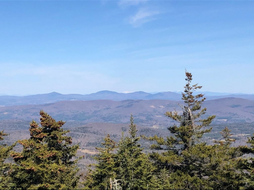
A very pleasant surprise upon achieving the summit was the view to the east! While the mountain was reknown for its views when the fire tower was still intact, the rocky summit was surrounded by mature pines, which obscured most of the views. At some point, in the not too distant past (as evidenced by freshly cut pine logs neatly stacked) someone has taken down enough of the taller trees to allow for great views to the east. If you look carefully in the center of the following picture, you can see the white triangle formed by still snowcapped Presidentials in NH! This little bit of tree removal will probably make this a more popular hike or run in the future.
The descent was pretty much the same as the climb, but in reverse – in fact, it was easier to keep on the narrow trail down from the summit, although I and my equally confused ad hoc hiking partner probably diverged from it in a few places. Returning to my car, this was about a 4.5 mile round trip, with about 1500 ft of climb and descent. I didn’t run any of this trip, although a few years ago, I was able to run about 50% of the distance. I know a lot of my stronger trail running friends could have fun on this one, especially after the snow finished melting. It is also a very pleasant afternoon hike, which is quite amenable to social distancing!
