Early spring trail running is a pleasure. Spring fever on the first semi-warm days always inspires me to get out and explore the nearby forest trails. Additionally, before the summer foliage sets in, one can see deeper into the woods, and get a much richer feel for the surrounding topology. Little scenic nuggets which would otherwise go unnoticed appear with a surprising clarity. On the other hand, one must also be sensitive to the need to stay off of heavily used trails during “mud season”. The Green Mountain National Forest recommends staying off of high elevation trails, especially the heavily used Long Trail, until after Memorial Day. They don’t do this out of misguided attention to our muddy boots and running shoes, but due to the excessive erosion and inadvertent trail widening which can happen from hikers and runner stepping around the large mud wallows. With these concerns in mind, I chose to go for a run which my previous experience told me was lightly trodden, and rather rocky rather than soft and muddy.
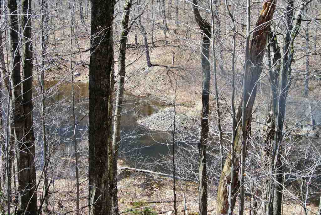
With these concerns in mind, I decided to go for a run from the Moosalamoo Campground parking lot. This Green Mountain National Forest campground, found on the Ripton-Goshen road is pretty well deserted even in the middle of the summer, but the road leading into it was open and driveable. Parking at the campground, I simply ran down the remainder of the dirt road in the direction of the Voter Brook Overlook. I was immediately impressed by the handiwork of quite a few eager beavers, whose numerous ponds and mounds of sticks, most of which I had never noticed before, were apparent due to the unobstructed views.
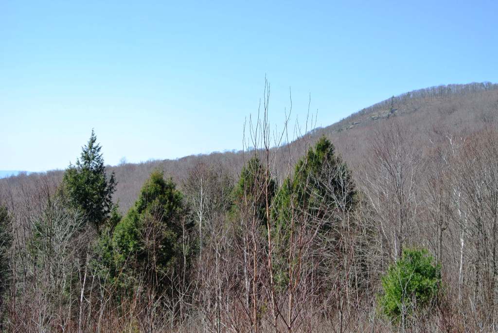
After a mile and a quarter of easy going on the road, I reached the Voter Brook Overlook. This little known gem provides excellent views to the Champlain Valley to the west, and towards the popular hiking destination, the Rattlesnake Cliffs above and to the right.
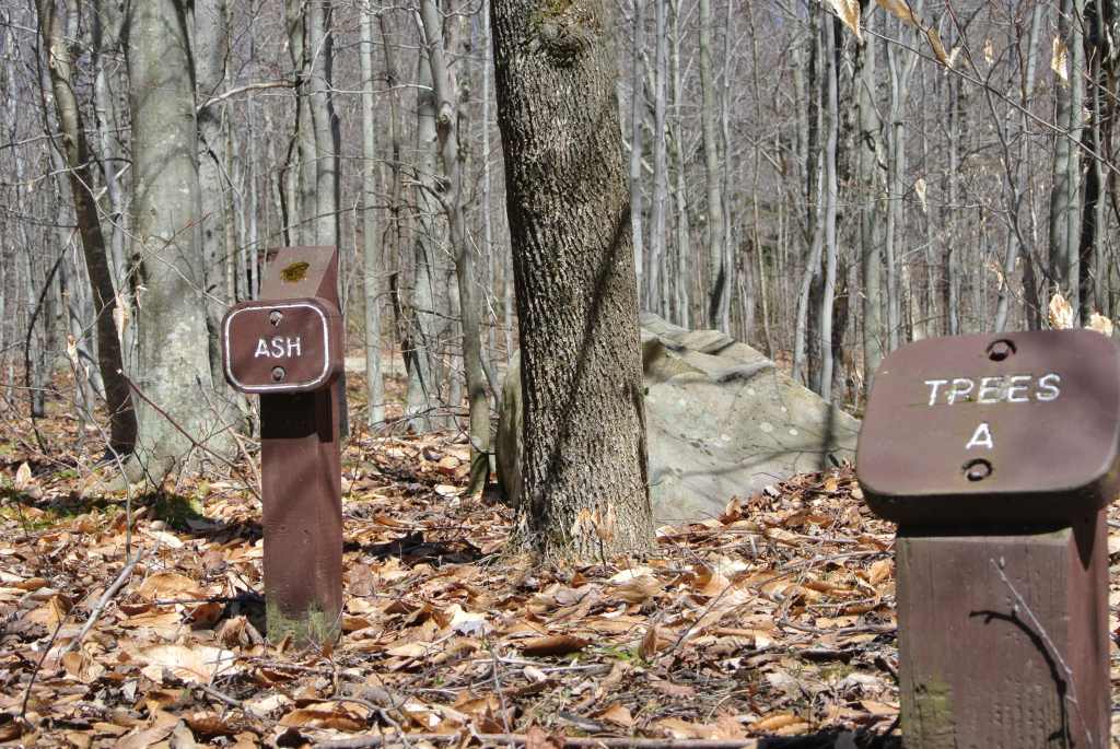
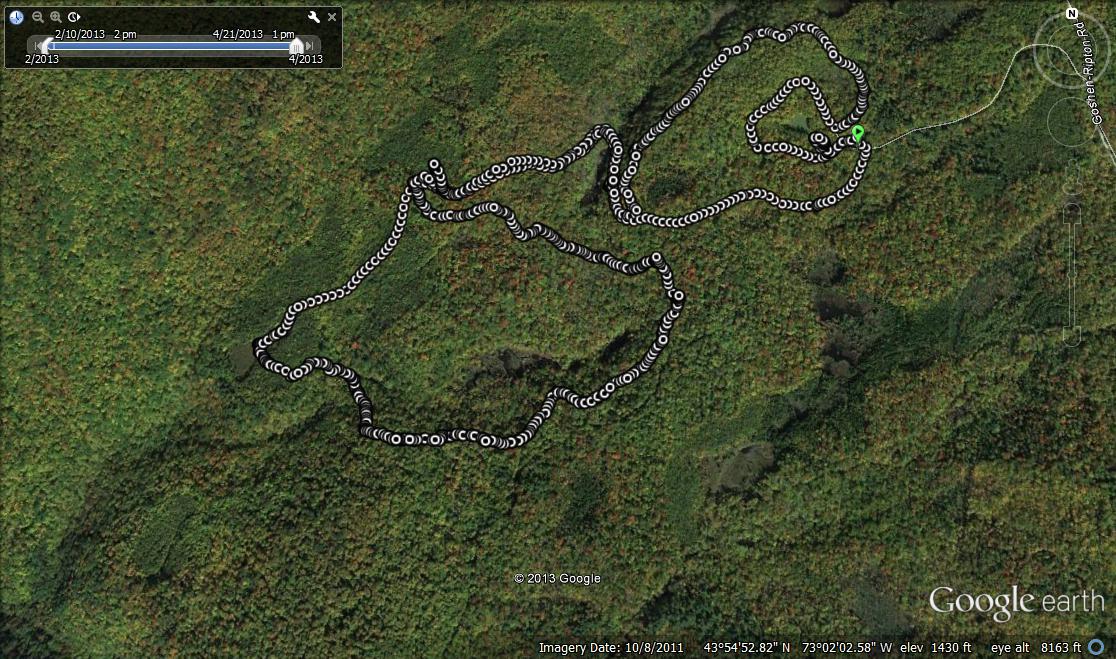
After this point, I headed deeper into the woods for some more adventurous running. A short descending trail heads down from the overlook, and meets up with the North Branch trail shortly. I had run this trail previously, under very different circumstances in mid August last year in the course of a very different running experience, but I could see that this spring there was still significant winter blowdown in the trail which slowed my progress in a few places, and made me appreciate the trail crews who maintain the Moosalamoo region trails during the summer months. After about a mile on this trail, I took a left turn onto the Keewaydin Trail, which led to the only truly muddy section of the run before climbing back up to the road. After a short section on the road, I took a left turn onto a trail lacking a forest service sign, only labeled by a small Blueberry Hill Ski Area trail sign bearing the number “43″. This trail eventually looped back to the Moosalamoo campground, and a short run around this brought me almost back to my car. A few yards from my car, I came to a the even smaller loop in the campground, which was set up as a small nature loop for the families staying there in the summer months when it is officially open. I got a little bit of a kick out of the signs pretty much labeling every tree along the way!
Returning to my car at this point, my GPS recorded this as a 4.25 mile run with some modest ups and downs, but no serious climbs, at least by Vermont standards. This general vicinity has a lot of nice hiking and running trails, but the forest service map of this little corner of the Moosalamoo Wilderness is pretty out of date and inaccurate as to where trails come and go. That said, it is all great, so just go explore!


