Stick season can be a tough time of the year for outdoor enthusiasts. As the last of the foliage is blown off the trees, the days get shorter and colder without the distraction offered by the ample snows of winter. While the occasional day with bright blue sky and crisp late fall air can offer a reprieve, it seems that cold rain and grey skies are more abundant than other seasons of the year. That said, a brief glimpse of acceptable weather over the weekend inspired me to seek out one last long mountain run to close out the trailrunning season, at least at higher elevations. Autumn yard chores, questionable weather, and other assorted responsibilities kept me busy until late afternoon, but I finally hit the trail at 3:30 pm, confident that there would be ample time to squeeze in a run before darkness set in on the last day before the end of daylight savings time.
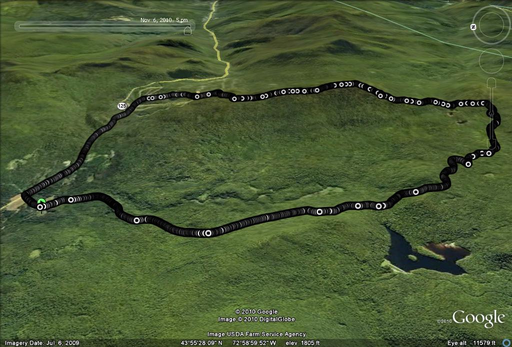
Once again, I sought out a new running variation from my favorite trailhead entry into the Moosalamoo Region, the Brooks Road Parking lot. In the course of one of my runs last year, entitled “Almost Like Running up Worth Mountain“, I attempted to summit Worth Mountain, the peak just south of the Middlebury College Snow Bowl from the north, passing through the Snow Bowl. Much to my bemusement upon completion of the run, I only realized after completion of the run that the high point which I had assumed was the Worth Mountain summit, was actually a subsidiary summit, and the true summit was a mile or so further south. I knew I had to get back to the actual summit at some point, and knowing that the summit could also be reached from the south on the Long Trail, I put this run on the “I have to try this in 2010″ mental list. Well, 2010 is fading fast, so this was my last opportunity to attempt this run.
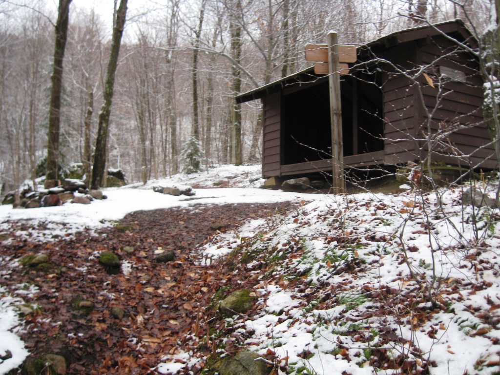
Once again, my entry to the mountains coincided with the climb of Brooks Rd. for the first segment of the run, but instead of veering to the west toward the Sugar Hill Reservoir, or the Sucker Brook Trail, I headed east at the dirt road’s terminus, taking the left spur trail leading to the Sucker Brook Shelter on the Long Trail. This connecting trail made for about a mile of pretty easy running until the last few hundred yards of ascent to the actual shelter. At this point, there was a healthy dusting of snow along the trail, but it was still easy to follow due to ample blue painted tree blazes, and the obvious indentation in the ground from the boots of countless hikers over the years. I am sure that this easily accessible shelter is heavily used during the summer months, but at this time of the year, there was no sign that it had seen any recent occupants.
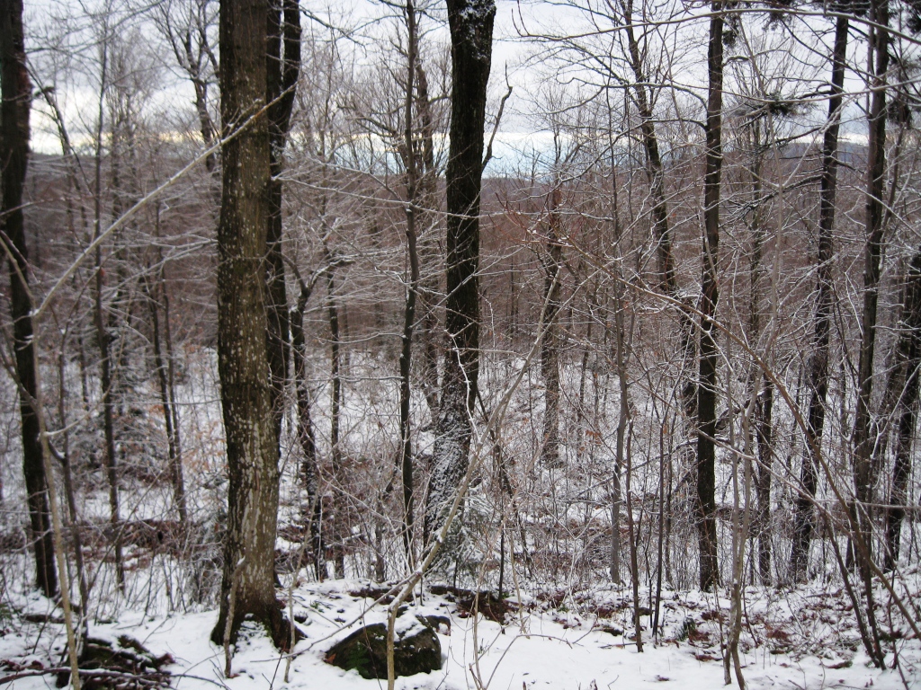
Immdediately beyond the shelter, the Long Trail proper was attained, and I headed left, planning to pass to the north over Worth Mt. to the Snow Bowl before returning to my car. A short way up the ridge I was treated to a limited westerly view, and realized that I had to maintain a decent pace in order to complete the run before sunset, but also knew that I would be fine as long as I got as far as the Snow Bowl before darkness, as the trailfinding from that point on would be pretty easy.
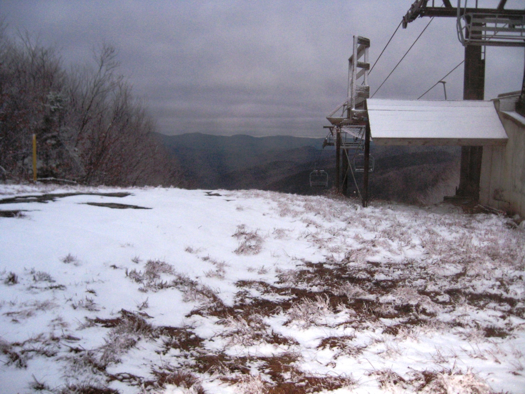
Of course, the trail got pretty slippery with even the modest increases in altitude at this point, and the Long Trail is not exactly a runner’s superhighway. Routefinding in the fresh snow and diminishing light got a little tricky in a few places, but I was determined to keep this adventure from becoming a misadventure – the last thing I needed was a headline announcing “Local Trailrunner Found Frozen”, or worse still “Boneheaded Trailrunner Rescued”. These concerns aside, this was a gorgeous stretch of trail made even prettier by the inch or two of fresh wet snow which clung like lacework to the altitude-thinned trees. After a seemingly endless stretch of ups and downs I passed a lone backpacker heading south. I was comforted by the fact that he assured me that my guess that I had about a mile and a half to reach the top of the Snow Bowl was correct. I also knew he had further to go before sunset than I did, but he was probably smart enough to be carrying a headlamp. As expected, I hit the top of the Snow Bowl with just a few minutes to spare before darkness – definitely cutting it a little closer than I should have, though.
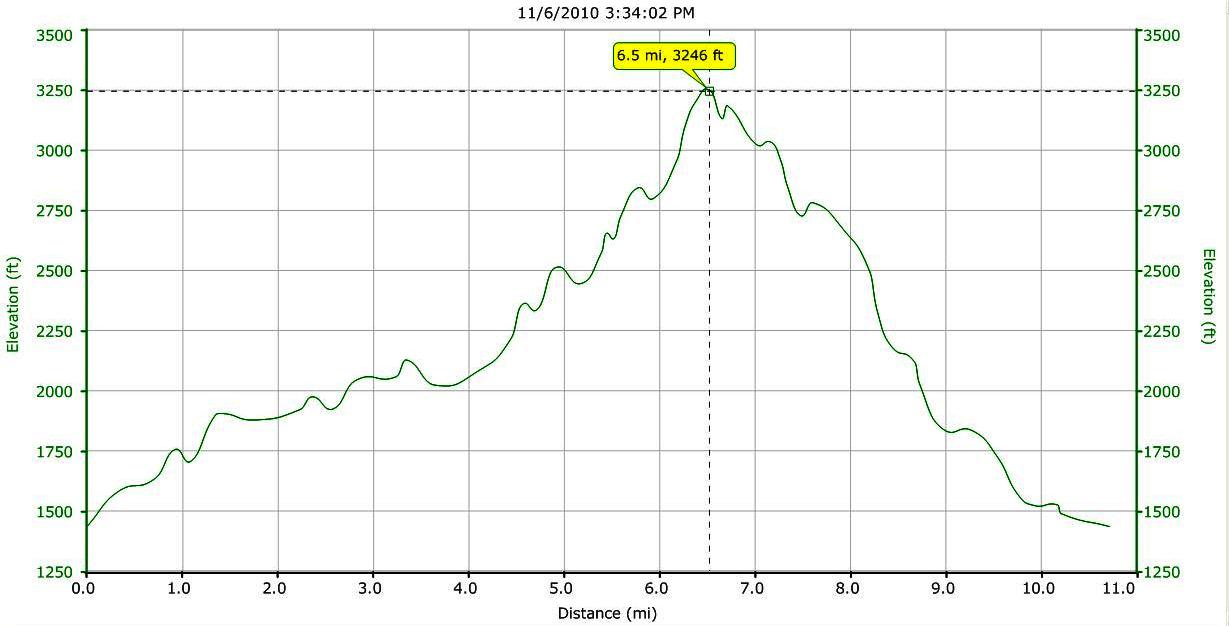
An easy run down the Voter Trail brought me to the Snow Bowl parking lot under suboptimal lighting, but not before one last treat – a young bull moose greeted me as I rounded a corner on the lower stretchs of the trail. I was a little too close for comfort to have that good a view of him in the rapidly diminishing light, but fortunately he was not interested in this odd spectre dashing down the slopes, and he loped away in the opposite direction before I could snap his portrait. A short jog up and out of the Snow Bowl parking lot, and a little longer, but fast descent on paved road back to Brooks Rd. and my car brought the run to a close. Given the lateness of the hour and near total darkness, I attempted to call home to the undoubtedly justifiably concerned Mrs. Trailrunner, but the lack of any cell signal this high up on the mountainside prohibited this courtesy, so I hopped in the car and coasted home. This run covered a little less than 11 miles, much of it on rugged trail with slow going, and an altitude difference of 1800 vertical feet between the lowest and highest altitude, but probably a lot more climbing than that given the nature of the terrain. This made for a great way to wind down the running season, so bring on the snow!
In case you find the maps in this blog difficult to view, or would just like to see the photography at a larger size, I recommend viewing the blog in the Mozilla Firefox browser, which allows you to right click (for PC’s at least, I am not lucky enough to have a Mac) on the illustration with the “Open Link in New Window” command for easy viewing.
