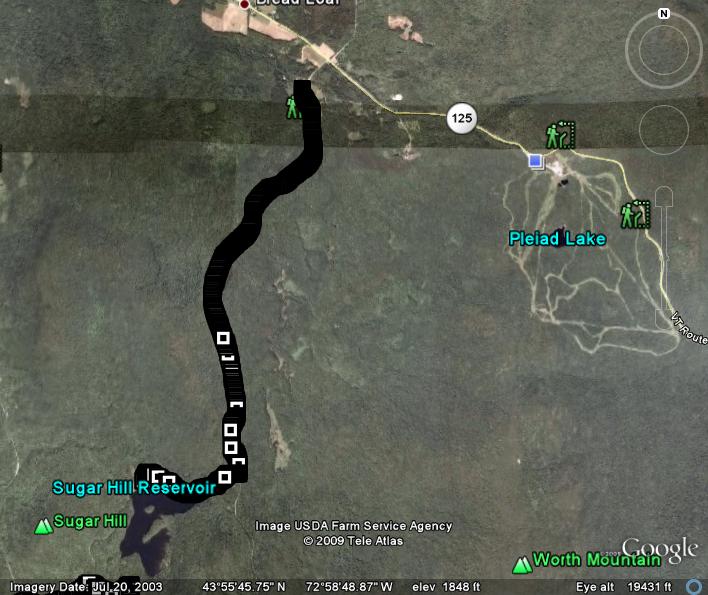
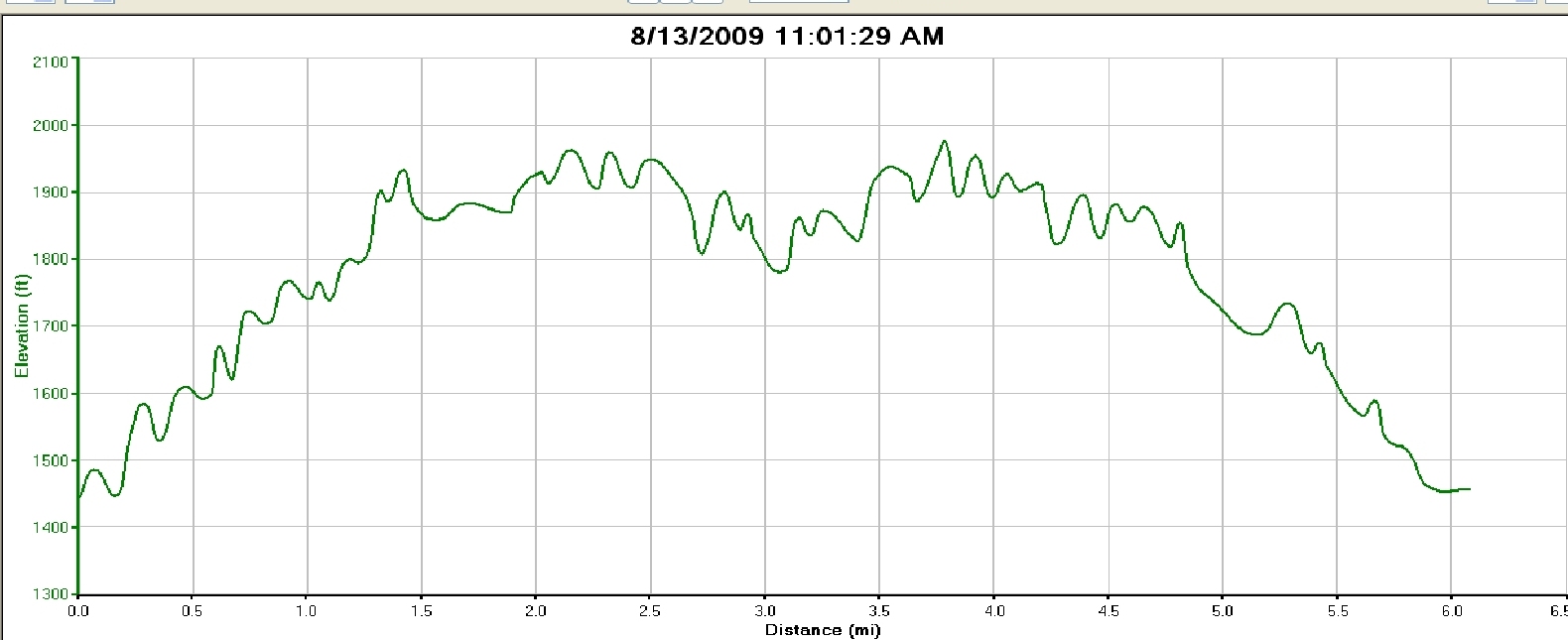
This is another mostly up and down run on a mix of forest service road and trail, which tops out at a rarely visited lake, the Sugar Hill Reservoir. This lake is in the hills between Goshen and Worth mountain, and is frequented by snowmobilers and skiers in the winter, but is not really on very many hikers’ radar screens, and even fewer runners head this way.
The run starts after a short drive out of Middlebury towards the Snow Bowl. Between Breadloaf and the Bowl, shortly before the serious climb to the top of Middlebury Gap begins, there is a dirt road on your right named Brooks Road. Take this about a quarter mile to the large parking lot where the run begins. This lot is used by many snowmobilers to load and unload their machines, and skiers frequent the nearby Widows Clearing Trail, but the lot is usually pretty empty in the summer. After parking, continue on the Brooks Road, which starts pretty flat, but soon begins to climb. While this road is open to the vehicular travel in the summer, and is passably maintained, I have never seen anyone driving on it. This, combined with its narrow and well-shaded character, give it the feel of a quiet forest path, rather than a road. Run up the the dirt road for 2.4 miles, until you get to a sign pointing to the right indicating the way to the reservoir. If you were to continue straight on the dirt road, it would go about another mile and a half until it intersects with the Blueberry Hill cross country ski trails, and eventually with the Long Trail, but we are not going that way…this time. Instead, take the right turn onto a true trail, which does a series of short steep ups and downs until it comes to the shore of the Sugar Hill Reservoir at 3.0 miles. There is a lovely little meadow here, with a campfire ring left by previous visitors. Unfortunately, I forgot my camera on this run, so a forest service picture of the lake, taken during the fall, will have to suffice.

For the descent and return to your car, simply retrace your steps for a great 6 mile “out-and-back”.

