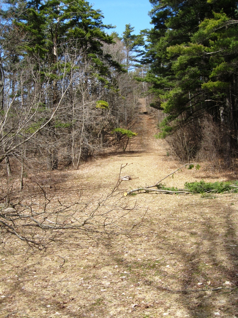
As the earlier than usual Spring seems to have arrived, the warm weather has cleared the snow off of the paths around town and opened up opportunities for the first trail runs of the season. Mud will be a fact of life for the next few months, but some routes tend to dry out earlier than others. With this in mind, I chose Chipman Hill for my first trail run of the season. The primary trail over the summit was clearly open to vehicular traffic at some point in the not-too-distant past, but predates my arrival in Middlebury in 1986. The fractured remaining pavement of the remaining road does make for good, dry footing, however. I have enjoyed running and mountain biking on the hill for many years, and I have seen hunters (illegal, I am told) and evidence of picnic-ers, partiers, and yes, trysters on its many trails. While the hill is crisscrossed by numerous trails, marked and unmarked, I stuck to the main trail over the summit on this warm Spring day.
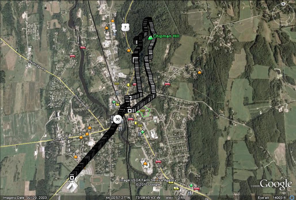
The run started on village streets, from my locker at the College athletic facilities, through downtown, and crossing the street at the Congregational church. A few yards north on Rt. 7, followed by a right turn onto Seminary Street, and a left on High St. brings one along the west flank of Chipman Hill, with great views across to the Adirondacks. Immediately before High St merges back into Rt. 7, the obvious route veers to the right, where the climbing portion of the run begins in earnest. After a minute or two of running uphill, the old ski jump hill is obvious on your left. The hill remains from the era when Chipman Hill served as the college’s “earn your turns” (no ski lifts) ski area, most notably during World War II when gasoline rationing made trips to the Snow Bowl impossible. It has also served the needs of more contemporary daredevil mountain bikers, including a former thesis student of mine who earned himself a trip to the emergency room as a result.

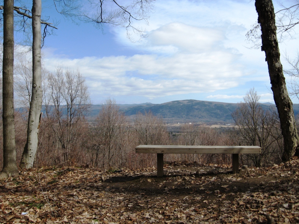
Shortly after this point, the trail passes another opening in the trees with great views to the north before switchbacking south back into the trees towards the hill’s twin summits. A few modest snow patches remained in higher shady sections, and a cleared viewpoint complete with a park bench offered yet more views, this time back towards the Green Mts, to the east.

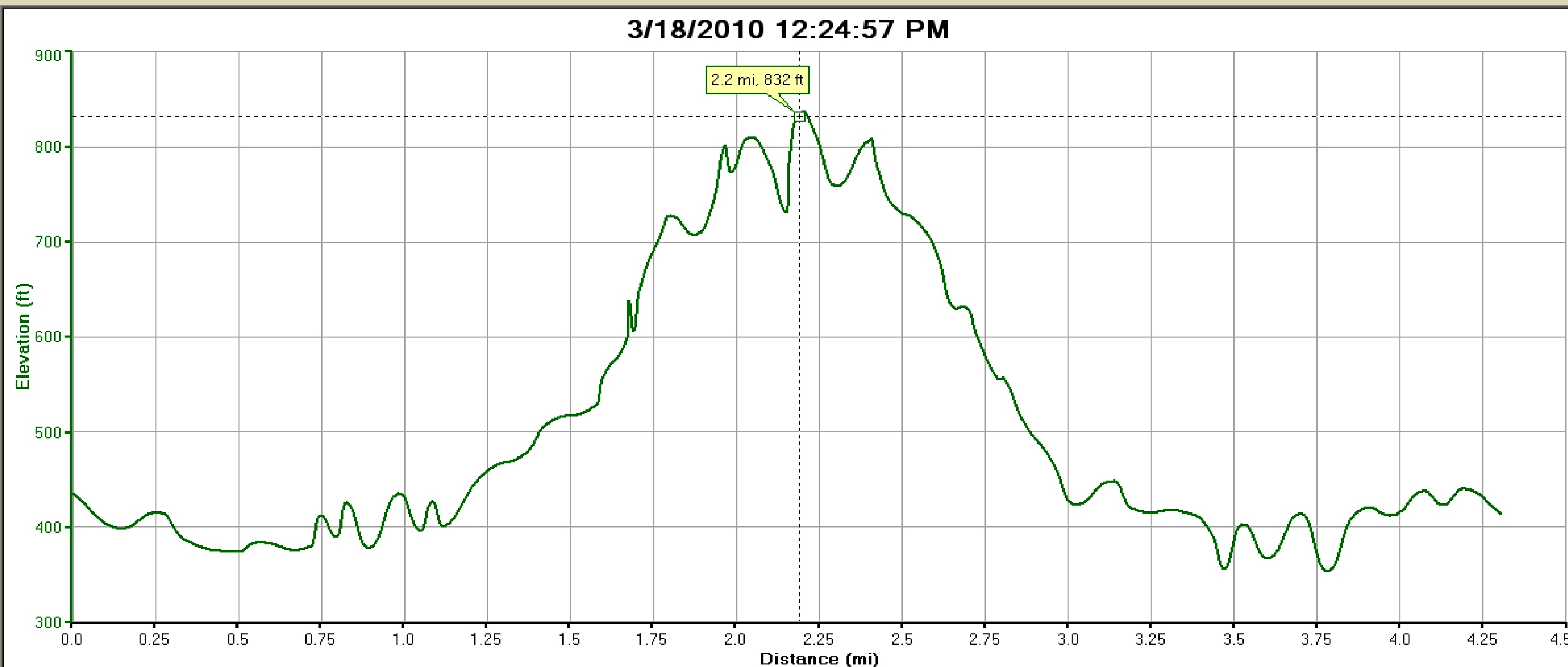
Continued running to the first summit, a short descent to the dimple between the peaks, and over the second, slightly higher summit bearing communications towers finishes the serious climbing. After a fast descent, you pass a gate blocking the upper sections from motorized vehicles and join Springside Dr., the address of some very fortunate Middlebury landowners, who get to look out their windows at these exceptional views every day. After the steep descent, taking any of the roads heading towards downtown eventually led back to my locker, making for a good early season run. The route as described was 4.3 miles (back to the English system, since its not skiing any more!) with about 450 feet of climbing from the low point downtown to the summit.
 Google Earth Projection of GPS track

I love the look of this route. Think i might have a run around it myself and see if its any good for my bike!
Thanks for the route Jeff
Hello!
I am writing to inquire about the picture of the bench — is it on Chipman Hill? If so, may I have your permission to use it in an upcoming presentation, with credit, of course?
Thanks for your consideration!
Kathleen