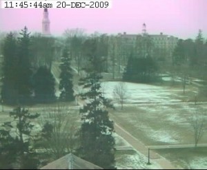
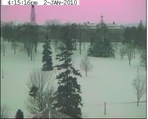
First off-apologies to all who were looking for the Middlebury weather station today. As many of you know, we lost power on campus for a couple of hours this morning, and that wrecks havoc with the weather station. We don’t lose any data, as the weather station has battery backups to keep logging. The network connection it is on the station gets all wonky, though, and needs to be reset, which I just got a chance to do right now.
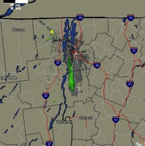
I’ll fill you in on what you missed. It snowed today, in case you hadn’t noticed. Snow reportsaround us are saying 11-17″ of snow. I’m calling it 14″ on campus, give or take. Truthfully, I’m not really sure. I’ve been shoveling snow all day, and have no idea how much fell. It just kept falling. And falling. The station recorded 1.08″ of precipitation, so it’s an 14:1 snow ratio. That means wet and heavy, a three advil night for many of us in the facilities.
What I am finding more interesting is the storm coming thursday night into friday. The Burlington Office of the National Weather Service is getting all excited in their normally stoic forecaster discussions. We could be in for an unusual storm. Apparently, a cold front is coming up from Cape Hatteras, and occulding, or combining, with another front right off the southern New England coast. The pressure with this storm is impressive, and is forecasted to bring strong easterly winds, with gusts of 50-60 MPH, particularly on the western slopes of the Green Mountains. (Breadloaf!) They are comparing this event to a storm on April 16, 2007 where there was damaging winds all along the slopes of the Green Mountains. Some of you may remember this as the Rutland “norricane”, which wiped out approximately2100 trees in the Rutland area. Fortunately, I don’t think we’re looking at much precipitation from this down here in the valleys, or maybe even just rain, as the warm easterly winds mix down. Also, as the weather service points out, rarely do we get significant winds and precipitation at the same time, it is usually one or the other.
For you weather geeks, most of this National Weather service forecasts I get from their forecaster discussion-something I’ve probably mentioned before. I think it’s the way various offices communicate with each other, and share ideas. I think it predates the internet-their straight text product reads like a time when bandwidth was measured in minutes, so you’d better write concise (there is an idea-blogs never would have made it before broadband connections, as idiots like me couldn’t afford to ramble on incoherently). Unabbreviated reads like this, but the weather service has a translation page, or I read it at the Weather Underground.


You must be logged in to post a comment.