Tag Archives: China

New to the library: statistics and GIS data

Statista
A quantitative statistics portal with over 60,000 topics on agriculture, finance, politics, and many more. Search in either German or English


China Data Online (China Data Center)

*Now with census data and GIS spatial data including Esri shapefiles.

(*GIS spatial data through China Geo-Explorer II works best with Internet Explorer.)

A statistical database with the following datasets:

  • Monthly Statistics
  • National Statistics
  • Provincial Statistics
  • City Statistics
  • County Statistics
  • Monthly Industrial Data
  • Monthly Industrial Data 1999-2002
  • Yearly Industrial Data
  • Yearly Industrial Data 1999-2002
  • Statistics on Map
  • Provincial Yearbook (2002 – )
  • Provincial Yearbook ( – 2001)
  • City Yearbook
  • National Yearbook

China Data Center offers some freebies on its website, including a list of geo-spatial vector data including lakes, rivers, canals, and other landforms and a separate listing of free, two-dimensional maps including traffic noise in major citiescoal production, and energy consumption, to name only a few.

Current Digest of the Chinese Press

Starting this month, the Middlebury College Libraries are providing access to The Current Digest of the Chinese Press, a collection of translated articles from key Chinese newspapers related to politics, international relations, security, economics, business, public health, environment, education, culture and more.

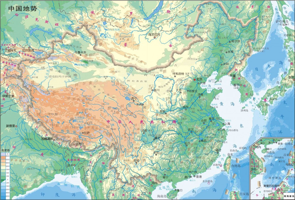
Map available at http://english.gov.cn/

Link directly to The Current Digest of the Chinese Press or explore this and other new library collections on our New & Trial Resources page.

Discovering research statistics on China

Welcome back to the China Data Center, an online statistical database with the following datasets:

  • Monthly Statistics
  • National Statistics
  • Provincial Statistics
  • City Statistics
  • County Statistics
  • Monthly Industrial Data
  • Monthly Industrial Data 1999-2002
  • Yearly Industrial Data
  • Yearly Industrial Data 1999-2002
  • Statistics on Map
  • Provincial Yearbook (2002 – )
  • Provincial Yearbook ( – 2001)
  • City Yearbook
  • National Yearbook

China Data Center offers some freebies on its website, including a list of geo-spatial vector data including lakes, rivers, canals, and other landforms and a separate listing of free, two-dimensional maps including traffic noise in major cities, coal production, and energy consumption, to name only a few.
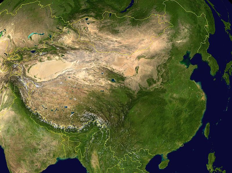
NASA satellite image of China