Middlebury College’s Environmental Field Methods class evaluated the characteristics of the diverse landscape surrounding the college campus and mapped different interpretations of the landscape using Google Maps.
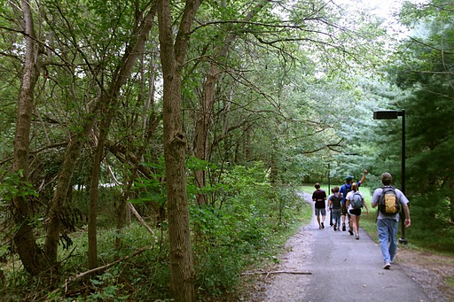
Environmental Field Methods students walking past Prescott House
A 2.77 mile loop around the perimeter of the college revealed the heterogeneity of Middlebury’s well-known picturesque landscape. The main objectives of this lab were to: (1) thoroughly examine the spatial patterns of the landscape, distinguishing what may have naturally occurred or been implemented by humans; (2) characterize the landscape through eight features to represent such spatial patterns; (3) present themes to gain more insight and comparison.
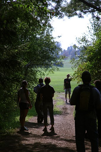
Students engaged in an exercise on defining the threshold between two land cover classes
Located in the heart of Vermont’s Champlain Valley, Middlebury College was founded in 1800. The forested and agricultural landscape surrounding the College has been managed by humans since the late 1700s. Part of the loop was on a section of the Trail Around Middlebury (TAM) that was built in 1997.
We mapped our route using a GPS and uploaded it onto Google. During the walk, the group discussed and took note of the various landscapes and ecological features. We each used Google Maps to map our 8 chosen features along our route (4 points and 4 shapes), highlighting what we found to be the most important features associated with our chosen theme.
There were a variety of interpretations of the landscape, including “passability”, vegetation density, and others. This activity stimulated thinking about terms in landscape ecology as well as the history of natural and human disturbances in the landscape.
After collaborating with the group, it was evident that there are multiple ways to interpret the same landscape, with challenges of limited field observations, choosing a theme that was consistently represented throughout the landscape, and picking features that could be mapped comprehensively and consistently. Overall, this activity revealed the diversity and heterogeneity of a landscape, with many different uses and conditions.
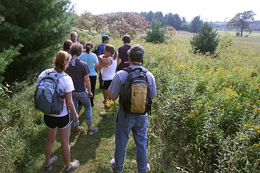
Evaluating landscape patterns and fighting off mosquitos
Written collectively by members of Geography 315, including Jack Balaban, Tom Crocker, Sophie McClelland, Paul Quackenbush, Hilary Rich, Emily Roach, Molly Rose-Williams, and Chelsea Ward-Waller