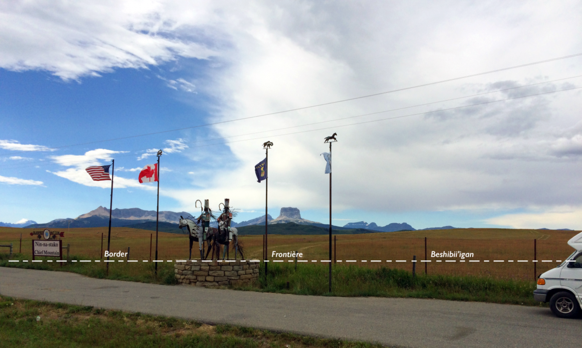
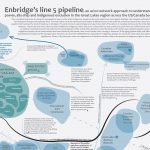
This online Border Atlas features research projects of scholars and students dealing with indigenous borderlands. Projects cover a variety of issues, such as the impact of transboundary pollution on native communities or border crossing protests. Most entries comprise 11″ x 17″ page spreads with maps, photos, illustrations, graphs, and short explanatory texts. Some page spreads are poster size 48″ x 36″. These page spreads can be downloaded for free by teachers for use in a variety of classroom settings, provided credit is given to the authors of the pages and to this website. Teachers and their students are encouraged to provide input on these atlas pages via the “contact” page. Page spreads that contain material objectionable to indigenous communities will be removed or amended with a commentary as soon as possible. Such a borderland atlas is an important desideratum: existing atlases devoted to Native Americans/First Nations silence the links between them on either side of the border because they show reservations in the US and reserves in Canada on separate maps and generally do not include any maps of indigenous borderlands.
Projects by students in the 2018 Middlebury College senior seminar “GEOG 414 – Radical Geographies”
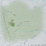

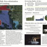
Project by Sophie Brown, SUNY EFS (poster size 48″ x 36″)
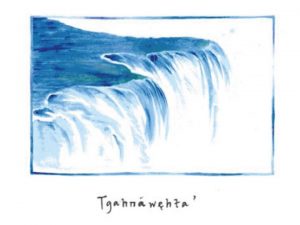
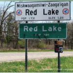
Place Name Restoration in Haudenosaunee Territory