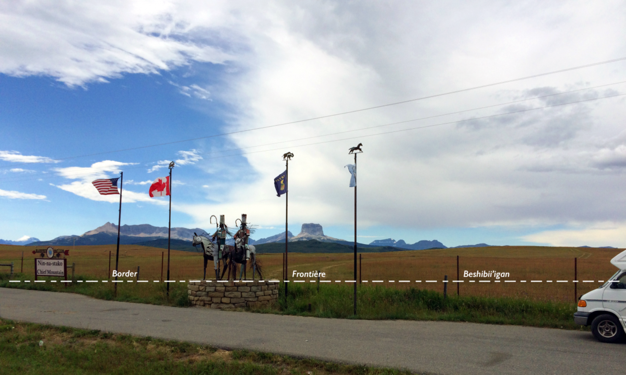
With about 70% of Native Americans in the US and well over half of First Nations In Canada living off the Rez, Pow Wows have become crucial events to create and maintain native community and identity. It is during these gatherings that indigenous people have the opportunity to celebrate traditions, honor spiritual beliefs and practices, connect generations, and exchange ideas among different nations. Every year an astonishing number of Pow Wows are held in the US-Canadian borderlands and unimpeded access across the international border is necessary to ensure the survival of this important rite.
The interactive map below depicts borderland Pow Wows in 2016. The data for this map was compiled from PowWows.com. Names and locations for all events in 2016 were collected from flyers for all states and provinces that touch the U.S.-Canadian border. Locations were entered as town names, and the geocoded location of each point on the map corresponds to the location of each specific town and not to the location of the event within that town.
Pow Wows, 2016
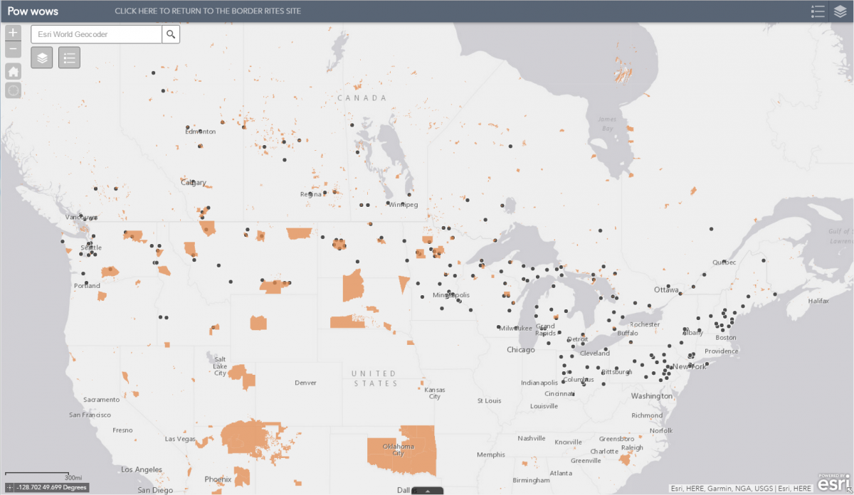 Click on the image above to open an interactive map. You can zoom in and out. Each dot represents a 2016 Pow Wow in the borderlands and clicking on it will open a window with further information [There is quite a bit of data, so the map might be slow to load]