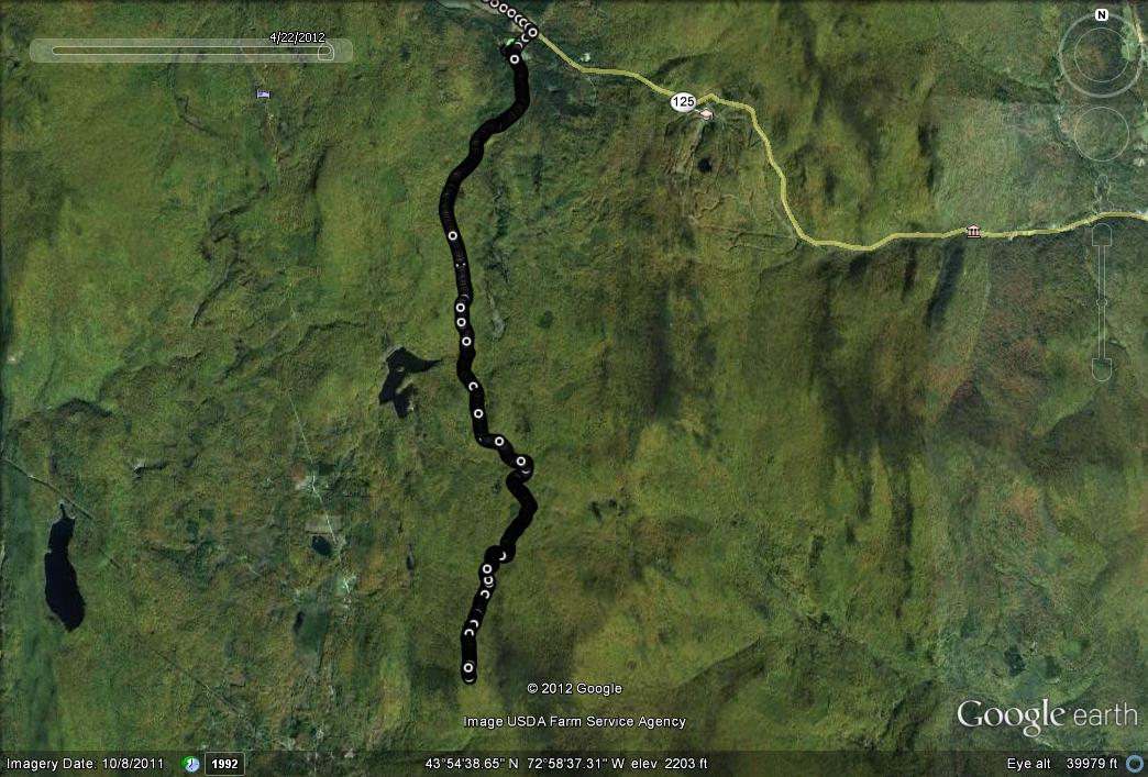
In one of my winter posts a few years ago, I described a great ski route at the Blueberry Hill Ski Touring Area in Goshen, on the trail traversing the high flanks of Romance Mountain. It has been claimed that this trail is “the highest altitude groomed cross country ski trail in Vermont”, and on skis, it certainly made for a challenging climb, and a fun, fast, and yes, slightly out of control descent. After a few longer runs in the previous weeks, I thought it would be fun to try and haul my early season body up Romance Mountain from the Ripton side. So, on a very cloudy and threatening Saturday afternoon, I parked my car at my favorite trail head on Brooks Road,the dirt road between Breadloaf and the Snow Bowl (for new readers). This trailhead never ceases to amuse me – there are two great directions to go – up Brooks Road past the Forest Service Gate, or out on the Widow’s Clearing Trail, and then a seemingly infinite number of “loop” or “out and back” runs to be tried as the two major trails branch out and interconnect. On this run, I chose the former, opting for the pretty serious climbing to be had along Brooks Road and trails beyond.
The run up this dirt road, was relatively uneventful – I saw a few moose tracks in the mud alongside the road, but none of the actual critters. Despite the general leafiness starting to spread across the valley, things were still pretty brown on the ground and grey in the sky, other than a few small streamlets, which supported some of the lush golden green of early spring, bringing to mind a favorite short Robert Frost poem:
Nature’s first green is gold,
Her hardest hue to hold.
Her early leaf’s a flower;
But only so an hour.
Then leaf subsides to leaf
So Eden sank to grief,
So dawn goes down to day.
Nothing gold can stay.
As a curious aside, when googling this poem to get the words right, I discovered that it “embodies the ambiguous balance between paradisiac good and the paradoxically more fruitful human good“. Oh…and I thought it was about leaves?
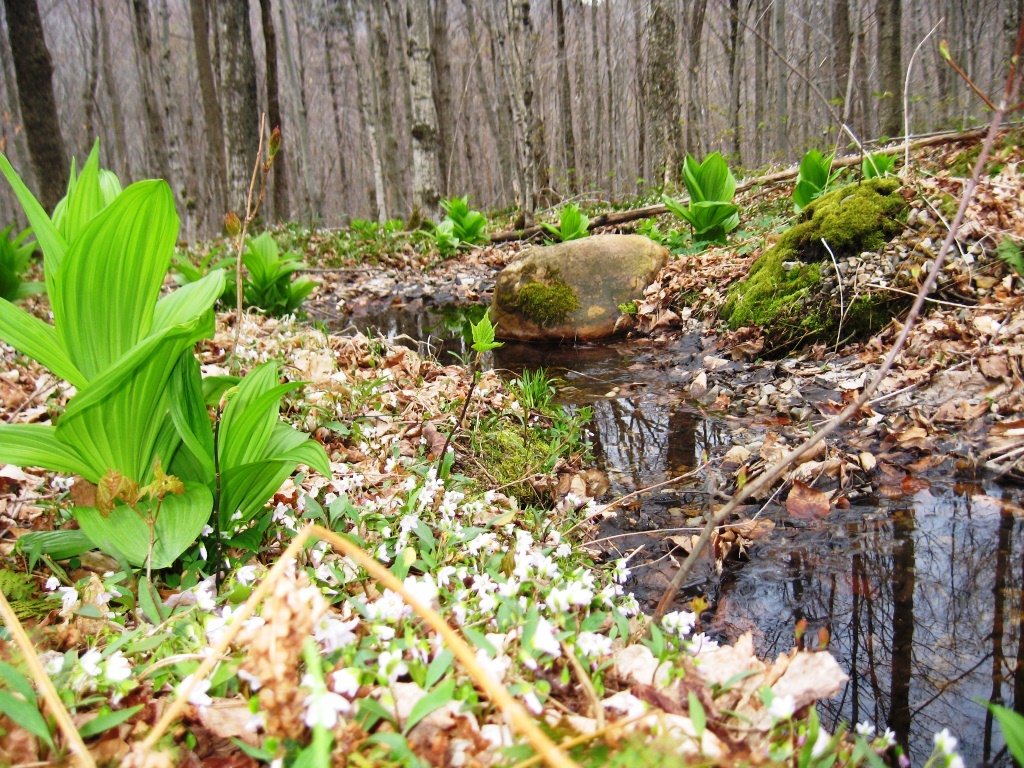
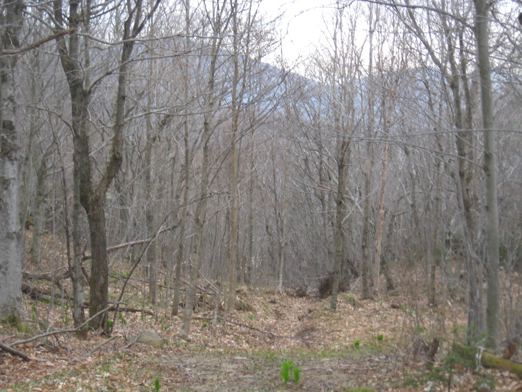
If you look carefully in this photo, you will also see some of the first springtime ephemerals, the flowers which appear and disappear as the season progresses. If I am reading the great posting on this topic by my fellow blogger Tim over at The Middlebury Landscape blog, the tiny flowers shown in this shot are known as “Spring Beauty”.
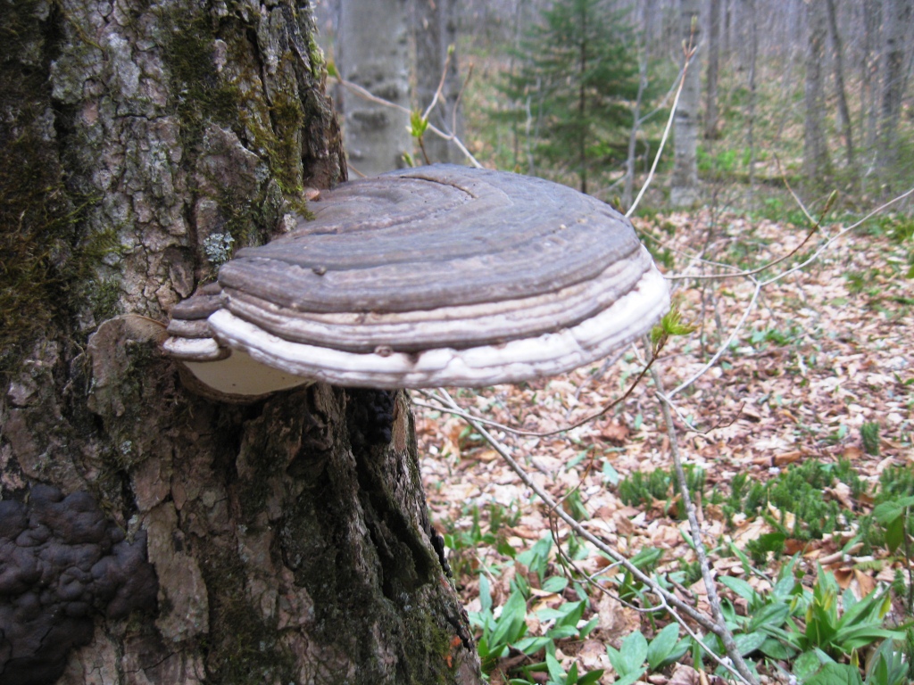
A little further up the dirt road, I also came across the following shelf fungus, which was so big it was almost scary. With a little careful cropping (and some imagination), it kind of looks like a duck bill, don’t you think?
Eventually, after about 3.5 miles, Brooks Road came to an end, and I entered the true trail running segment. The first trail to the left provides a connection with the Long Trail, and it is described in another earlier post, when I ran up and over Worth Mountain and through the Snow Bowl from this side. Bypassing this turnoff, I came to a T, and a ski/mountain bike trail which forms part of the Blueberry Hill trail network. Now, I took the left, and this trail took me to the high point of the trail over the next 2 miles, in a series of gradual and sharper ascents. I briefly contemplated bushwacking to the true summit, but looking up, I realized it would involve getting my head stuck in the clouds, which were starting to envelope the highest altitudes. I took a moment to enjoy the limited view from my perspective.
I also did a quick search up here for a small sign proclaiming it “Cindy’s Summit”, which used to grace the trail at this point, and was disappointed not to find it. Curious as to the story of the sign and its demise, I emailed Tony down at the Blueberry Hill Inn, who told me that he had placed the sign there after promising a frequent guest named (surprise!) Cindy that he would do so if she could ski all the way up there. Alas, new Forest Service regulations involving place names rendered this sign contraband, so he had to take it down. So much for poor Cindy’s immortality on Romance Mt!
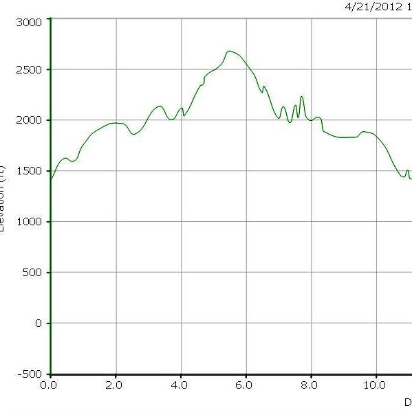
My return trip went much easier, of course, being almost entirely descent. The long promised colder weekend rains began just as I returned to my car, so I got lucky this time. This ended up as the most challenging run of the young ski season, with an 11 mile round trip distance, and about 1200 ft of climbing up to about 2700 ft- not bad for April!