Category Archives: Disciplines

Using Second Life for Political Simulation – Prof. Quinn Mecham

Second Life
Technologies Used: Second Life; Blogs, Wikis.
Course:
Political Science 103: Intro to Comparative Politics
Number of Students: 50
Objectives: “Provide a political simulation experience for my students, and conduct an experiment to determine if it was possible to create a virtual state in which people would actively participate.”

Summary of Poster Session: Quinn Mecham and Alex Russo (a student from his course) demonstrated how they used Second Life as one of their tools to simulate how political parties and governments form.  Students had avatars (simulated characters) in Second Life that could interact with each other and campaign, form parties, propose legislation, and experience how politics play out.  A blog and wiki connected to their virtual space was also used to allow proposals to be vetted. Continue reading
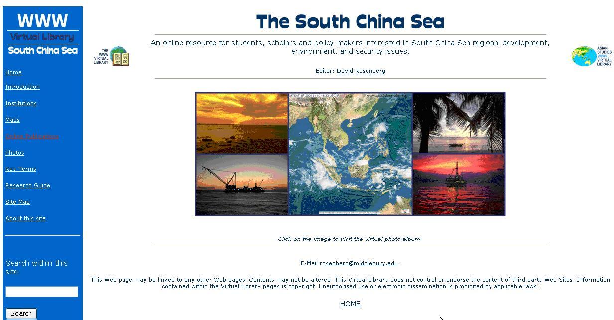
South China Sea WWW Virtual Library – Prof. David Rosenberg

Technologies Used: website: www.SouthChinaSea.org, Google Earth, Google Map, Google News Search, CD
Course: PSCI 214 – International Environmental Politics
Number of Students: 45
Objectives: “To integrate research and teaching, to promote student-faculty collaboration.”

Summary of Poster Session: David Rosenberg and several of his students showed the website that is a resource for students in David’s class as well as the world.  Students helped identify content to link to and contributed content themselves, such as maps. Continue reading

Analyzing Data with ArcGIS and Stata – Prof. Caitlin Myers

Technologies Used: ArcGIS; Stata (Statistical Analysis Software)
Course: Economics 1008 Deconstructing Discrimination (Winter Term 2009)
Number of Students: 20
Assistance: Jack Cuneo, a tutor in the media lab (ArcGIS help)
Anticipated Learning Outcomes: Experience with  collecting data and performing empirical analysis, familiarity with the  capabilities of ArcGIS software, ability to use  Stata software.

Summary: “My winter term class “Deconstructing Discrimination” carried out an empirical research project to examine whether retail gasoline prices are correlated with the racial and income characteristics of neighborhoods.  The project required obtaining, manipulating, and combining data from a variety of sources.  We purchased gasoline price data from Oil Price International (OPIS), used ArcGIS to identify the census tract for each station, and then obtained neighborhood characteristics from the 2000 Decennial Census using Geolytics software.  Continue reading