The Sanborn Company began making fire insurance maps in 1867. Sanborn maps are valuable tools for urban specialists, social historians, architects, geographers, genealogists, local historians, planners, environmentalists and anyone who wants to learn about the history, growth, and development of American cities, towns, and neighborhoods.
Digital Sanborn Fire Insurance Maps, 1867 – 1970 has been expanded from just Vermont to all fifty states, plus the District of Columbia.
Sanborn Maps Geo Edition allows searching by GPS coordinates and includes tools that layer maps from different years on top of each other and over modern street, satellite, and hybrid layers via a Google map interface. This enhanced version of the Sanborn maps database currently includes maps from a dozen states and will grow with time.
Both are available on the trials page at go/trials.
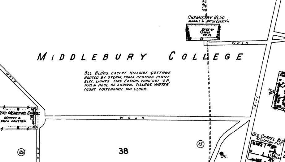
Middlebury College, detail from 1927 Sanborn