Analyzing Data with ArcGIS and Stata – Prof. Caitlin Myers

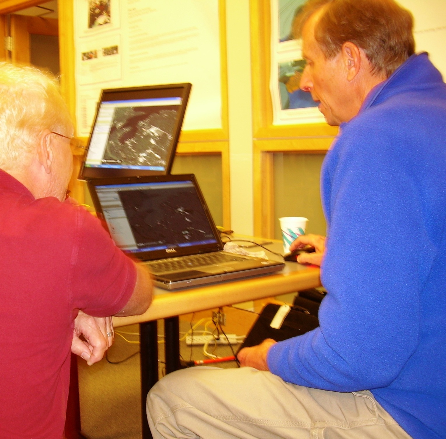
Technologies Used: ArcGIS; Stata (Statistical Analysis Software)
Course: Economics 1008 Deconstructing Discrimination (Winter Term 2009)
Number of Students: 20
Assistance: Jack Cuneo, a tutor in the media lab (ArcGIS help)
Anticipated Learning Outcomes: Experience with  collecting data and performing empirical analysis, familiarity with the  capabilities of ArcGIS software, ability to use  Stata software.

Summary: “My winter term class “Deconstructing Discrimination” carried out an empirical research project to examine whether retail gasoline prices are correlated with the racial and income characteristics of neighborhoods.  The project required obtaining, manipulating, and combining data from a variety of sources.  We purchased gasoline price data from Oil Price International (OPIS), used ArcGIS to identify the census tract for each station, and then obtained neighborhood characteristics from the 2000 Decennial Census using Geolytics software.  Continue reading “Analyzing Data with ArcGIS and Stata – Prof. Caitlin Myers”

Capturing Video from Google Earth Pro for Visualization of Landscape Development – Chris Fastie, Visiting Research Scholar

Technology Used: Google Earth Pro, GPS, digital video camera, Adobe Premiere Pro
Course: Environmental Studies 1011 – Reading Nature’s Winter Landscape
Number of students: 15

Photo by Carrie Macfarlane
Text by  Chris Fastie and Carrie Macfarlane

For ten years, Chris Fastie, Visiting Research Scholar in the Department of Biology, had been laboring to map the geomorphology of a four-mile stretch of Upper Plains Road in Salisbury, Vermont. As time allowed, he would venture out to survey the landscape, and sketch his findings on aerial photos. Last summer, he used a GPS (Global Positioning System) receiver to map some newly discovered kame terraces, installed Google Earth Pro on his computer and learned that there was finally an effective way to share his findings with others. When he received a request to lecture for a Winter Term course at Middlebury, technology and opportunity had merged to give new impetus to the mapping project. Continue reading “Capturing Video from Google Earth Pro for Visualization of Landscape Development – Chris Fastie, Visiting Research Scholar”

Facebook in Large Lecture Courses – Professor Jeff Byers

Technology Used: Facebook
Courses: Organic Chemistry 2  (implemented twice), and Advanced General Chemistry (implemented once)
Number of students: Approximately 70 in Organic Chemistry 2, and approximately 25 in Advanced General Chemistry

Photo by Carrie Macfarlane

When Professor Jeff Byers, Department of Chemistry and Biochemistry, was looking for an online discussion tool for Organic Chemistry 2 (Chem 242) and Advanced General Chemistry (Chem 107), he wanted to find a tool that was student-centric.  “I did not want this to be ‘top down’ — the students get enough of me,” he says.  His students were already on Facebook, so he opened a forum there (see Middlebury Orgo Spring 2009). Continue reading “Facebook in Large Lecture Courses – Professor Jeff Byers”

Creating maps for a historical geography course

Anne Knowles’ poster session featured two atlases that had been created by students in her GEOG0219 course on the Historical Geography of North America.  The titles of the atlases are Historical Atlas of New England and Atlas of Industrial America and each student in her class was responsible for creating a map, essay and bibliography for the atlas on a theme approved by her.  Students found and used historical maps and created overlays that added new layers of information to the original maps.  Using technology was not the goal of the course, but it presented an opportunity for students to use GIS, create an original map and to develop skills in thinking geographically to show changes over time.  The feedback that Anne received from students was that their projects were the best and most satisfying assignment they ever had.

Copies of the atlases may be found in Special Collections, Armstrong Oversize and Stacks Oversize and may be loaned to other libraries through InterLibrary Loan.

Pedagogy & Technology Fair

Library, Harmon Reading Area, Thursday, June 4, 10:30 am – 12:00

From Facebook in a chemistry course to video projects in First-Year Seminars, Middlebury faculty are using technology in a number of creative ways to re-design, enhance and augment their courses.  Join us in the Great Hall at McCardell Bicentennial Hall where a number of faculty will demonstrate their uses of technology and discuss their experiences in an informal setting.  This fair is co-sponsored by the CTLR and LIS.

Holly Allen, Mary Ellen Bertolini, Jeff Byers, Bryan Carson, Alex Chapin, Kyoko Davis, Chris Fastie, Anne Knowles, Marc Lapin, Carrie Macfarlane, Jonathan Miller-Lane, Caitlin Myers, James Morrison, David Rosenberg, Steve Trombulak, Andy Wentik, Helen Young.